Stonydelph
| Stonydelph | |
 Stonydelph |
|
| Population | 7,862 (Ward,2011)[1] |
|---|---|
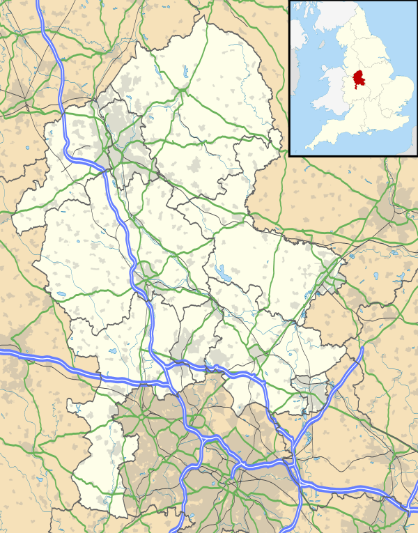
| OS grid reference | SK238021 |
| District | Tamworth |
| Shire county | Staffordshire |
| Region | West Midlands |
| Country | England |
| Sovereign state | United Kingdom |
| Post town | Tamworth |
| Postcode district | B79 |
| Police | Staffordshire |
| Fire | Staffordshire |
| Ambulance | West Midlands |
| EU Parliament | West Midlands |
|
|
Coordinates: 52°36′58″N 1°39′00″W / 52.61615°N 1.64991°W
Stonydelph is a neighbourhood about 2 miles (3 km) south east of the centre of Tamworth, Staffordshire. A spelling of "Stoneydelph" is sometimes used but the OS map of 1888 shows "Stonydelph Farm" as the only building in this area. Much of the area is based around a road named "Pennine Way".
Stonydelph acquired the name "the delph" during the late 1980s, which is a shortened version of the original.
Stonydelph has two primary schools: Three Peaks Primary School (formerly The Dales Community School, Fossdale Road) and Stoneydelph Primary School (Crowden Road). Both of these schools cover the area of Stonydelph, and are feeder schools for nearby Belgrave High School.
Stonydelph is served by the number 7 to and from Tamworth town centre and 780 to and from Robert Peel Hospital, both services are operated by Arriva Midlands
The neighbourhood is served by three Councillors: Daniel Cook, Steven Pritchard and Ben Price.
In March 2009, Tamworth Borough Council commissioned a company to undertake a Community Survey with residents living in Tamworth to identify priorities for improving local areas in the future. The survey provided information about the views of residents in Stonydelph and the other Locality Working areas in Tamworth.
References
- ↑ "Tamworth Ward population 2011". Retrieved 12 December 2015.