Stoneycroft
| Stoneycroft | |
 Stoneycroft District Sign. |
|
 Stoneycroft |
|
| Population | 12,938 (2001 Census) |
|---|---|
| OS grid reference | SJ390915 |
| Metropolitan borough | Liverpool |
| Metropolitan county | Merseyside |
| Region | North West |
| Country | England |
| Sovereign state | United Kingdom |
| Post town | LIVERPOOL |
| Postcode district | L13 |
| Dialling code | 0151 |
| Police | Merseyside |
| Fire | Merseyside |
| Ambulance | North West |
| EU Parliament | North West England |
| UK Parliament | Liverpool Wavertree |
|
|
Coordinates: 53°25′16″N 2°55′33″W / 53.4211°N 2.9257°W
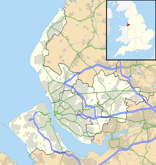
Stoneycroft is an area of inner-city Liverpool, England and part of the Tuebrook and Stoneycroft and Old Swan wards.
Description
Stoneycroft is a small residential district of Liverpool located to the east of city. Liverpool's inner ring-road, Queens Drive, runs past Stoneycroft and creates a border between the area and West Derby. Stoneycroft is also bordered by Tuebrook and Old Swan.
There is a bus depot in Stoneycroft on Green Lane. It is owned by Arriva North West.
Government
Stoneycroft is governed under Tuebrook and Stoneycroft ward. The elected councillors for the Tuebrook and Stoneycroft ward are Councillors Steve Radford, Hazel Williams, and Kevin Morrison, all of the Liberal Party, which is led by Councillor Radford.
It is represented by Stephen Twigg MP in the parliamentary constituency of Liverpool West Derby.
See also
External links
| Wikimedia Commons has media related to Stoneycroft. |