Stoelmans Eiland Airstrip
| Stoelmans Eiland Airstrip | |||||||||||
|---|---|---|---|---|---|---|---|---|---|---|---|
| IATA: SMZ – ICAO: SMST | |||||||||||
| Summary | |||||||||||
| Airport type | Public | ||||||||||
| Operator | Luchtvaartdienst Suriname | ||||||||||
| Location | Stoelmans Eiland, Suriname | ||||||||||
| Elevation AMSL | 187 ft / 57 m | ||||||||||
| Coordinates | 4°21′05″N 54°25′05″W / 4.35139°N 54.41806°WCoordinates: 4°21′05″N 54°25′05″W / 4.35139°N 54.41806°W | ||||||||||
| Map | |||||||||||
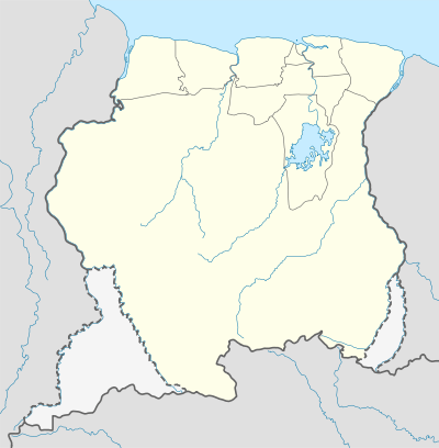 SMST Location in Suriname | |||||||||||
| Runways | |||||||||||
| |||||||||||
Stoelmans Eiland Airstrip (IATA: SMZ, ICAO: SMST) is an airstrip serving Stoelmans Eiland, an island on the eastern border of Suriname.
Charters and destinations
Charter Airlines serving this airport are:
| Airlines | Destinations |
|---|---|
| Blue Wing Airlines | Paramaribo, Zorg en Hoop Airport[3] |
| Caricom Airways | Paramaribo, Zorg en Hoop Airport[4] |
| Gum Air | Paramaribo, Zorg en Hoop Airport[5] |
| Hi-Jet Helicopter Services | Paramaribo, Zorg en Hoop Airport |
| Suriname Air Force/ Surinaamse Luchtmacht | Paramaribo, Zorg en Hoop Airport |
| Surinaamse Medische Zendings Vliegdienst / MAF | Paramaribo, Zorg en Hoop Airport |
Incidents and Accidents
 On 15 May 1974 a Cessna 172K Skyhawk, registered PZ-NAB, from the Aero Club Suriname was written off at Stoelmans Eiland. Fortunately there were no fatalities, the pilot was G. Brunings.
- On 23 August 1974 a Cessna 337E Super Skymaster, registered PZ-PAS, from the Pater Albrinck Stichting was damaged at Stoelmans Eiland, the pilot was F. Siem Tjam.
 On 9 October 1982 a Dornier DO 28D-1 Skyservant from Gum Air registered PZ-TBB and piloted by P.Gummels was damaged at Stoelmans Eiland, the airplane was later repaired.
- On 18 October 1986 a De Havilland Canada DHC6-300 Twin Otter from the Surinaamse Luchtvaart Maatschappij, registered PZ-TCD, was hijacked by the Jungle Commando at Stoelmans Eiland, after landing. The airplane had departed Paramaribo, Zorg en Hoop Airport with 4 people on board. Lloyds paid FL 500000 to get the aircraft back. The hijacking lasted less than 1 day, there were 5 hijackers. The same airplane was sold years later, in 2005 to Gum Air, and is still flying in Suriname now registered PZ-TBY. [6][7][8][9]
See also
- Suriname portal
 Aviation portal
- List of airports in Suriname
- Transport in Suriname
References
- ↑ Airport information for SMZ at Great Circle Mapper.
- ↑ Google Maps - Stoelmans
- ↑ Blue Wing schedule
- ↑ Caricom destinations Archived March 15, 2013, at the Wayback Machine.
- ↑ Gum Air destinations
- ↑ Landewers
- ↑ Surinam Airways
- ↑ Europeana
- ↑ Digibron.nl
External links
This article is issued from Wikipedia - version of the 12/4/2016. The text is available under the Creative Commons Attribution/Share Alike but additional terms may apply for the media files.