Stanytsia Luhanska
| Stanytsia Luhanska Станиця Луганська | |||
|---|---|---|---|
| Urban-type settlement | |||
| |||
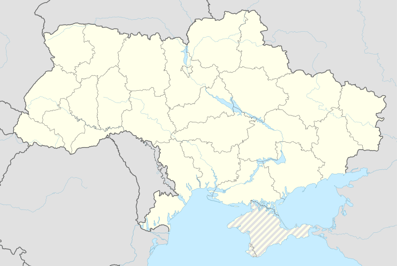 Stanytsia Luhanska Location of Stanytsia Luhanska within Ukraine | |||
| Coordinates: UA 48°40′14″N 39°28′20″E / 48.67056°N 39.47222°ECoordinates: UA 48°40′14″N 39°28′20″E / 48.67056°N 39.47222°E | |||
| Country | Ukraine | ||
| Province | Luhansk Oblast | ||
| Founded | 1688 | ||
| Area | |||
| • Total | 14.6 km2 (5.6 sq mi) | ||
| Elevation | 40 m (130 ft) | ||
| Population (01.01.2011)[1] | |||
| • Total | 13,744 | ||
| • Density | 940/km2 (2,400/sq mi) | ||
| Time zone | EET (UTC+2) | ||
| • Summer (DST) | EEST (UTC+3) | ||
| Postal code | 93600-93609 | ||
| Area code | +380 6472 | ||

Stanytsia Luhanska (Ukrainian: Станиця Луганська; Russian: Станица Луганская) is an urban-type settlement on the banks of the Seversky Donets River in Luhansk Oblast in eastern Ukraine. Population: 13,734 (2013 est.)[2]. Stanytsia Luhanska is one of two local foundations of the Don Cossacks in today's Ukraine and the administrative center of the Stanytsia-Luhanska Raion 20 km northeast of Luhansk.
Starting Mid-April 2014 pro-Russian separatists captured several towns in Donetsk Oblast;[3][4] including Stanytsia Luhanska.[5]
July 2, 2014, "unknown" planes attacked the Stanytsa Luganskay Cossack village and the village of Kondrashovka. In the 10 minute video of ground zero (here: https://www.youtube.com/watch?v=BiNf8N41mLo) there are entire buildings that have completely burned through.
On 21 August 2014, Ukrainian forces reportedly were clearing Stanytsia Luhanska from the pro-Russian separatists.[6] The settlement remained under control of the Ukrainian authorities.[7]
Demographics
Native language as of the Ukrainian Census of 2001:[8]
- Russian 92.4%
- Ukrainian 6.2%
- Romani 0.2%
- Armenian 0.2%
- Belarusian 0.1%
References
- ↑ Державний комітет статистики України. Чисельність наявного населення України на 1 січня 2011 року, Київ-2011 (doc)
- ↑ "Чисельність наявного населення України (Actual population of Ukraine)" (in Ukrainian). State Statistics Service of Ukraine. Retrieved 21 January 2015.
- ↑ http://www.newrepublic.com/article/117387/putin-accidentally-helping-unite-eastern-and-western-ukraine
- ↑ http://en.itar-tass.com/world/735082
- ↑ http://www.ukrinform.ua/eng/news/fighting_continues_near_donetsk_luhansk_325524
- ↑ http://www.ukrinform.ua/eng/news/fighting_continues_near_donetsk_luhansk_325524
- ↑ Hard lines: Access issues deepen Ukraine aid crisis, IRIN (4 March 2016)
- ↑