Staniel Cay Airport
| Staniel Cay Airport | |||||||||||
|---|---|---|---|---|---|---|---|---|---|---|---|
| IATA: TYM – ICAO: MYES | |||||||||||
| Summary | |||||||||||
| Airport type | Public | ||||||||||
| Serves | Staniel Cay, Exuma Islands, Bahamas | ||||||||||
| Location | Staniel Cay | ||||||||||
| Elevation AMSL | 5 ft / 2 m | ||||||||||
| Coordinates | 24°10′09″N 076°26′21″W / 24.16917°N 76.43917°WCoordinates: 24°10′09″N 076°26′21″W / 24.16917°N 76.43917°W | ||||||||||
| Map | |||||||||||
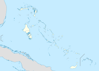 MYES Location in The Bahamas | |||||||||||
| Runways | |||||||||||
| |||||||||||
Staniel Cay Airport (IATA: TYM[2], ICAO: MYES) is an airport serving Staniel Cay, one of the Exuma Islands in The Bahamas.[1]
Facilities
The airport resides at an elevation of 5 ft (1.5 m) above mean sea level. It has one runway designated 17/35 with an asphalt surface measuring 924 m × 23 m (3,031 ft × 75 ft).[1]
Airport
The airport has two hangars and 1 runway. It serves Staniel Cay.
References
- 1 2 3 Airport information for MYES at World Aero Data. Data current as of October 2006.Source: DAFIF.
- 1 2 Airport information for TYM at Great Circle Mapper. Source: DAFIF (effective October 2006).
External links
This article is issued from Wikipedia - version of the 12/4/2016. The text is available under the Creative Commons Attribution/Share Alike but additional terms may apply for the media files.