St. Mary's, Newfoundland and Labrador
| St. Mary's | |
|---|---|
| Town | |
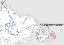
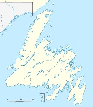 St. Mary's Location of St. Mary's in Newfoundland | |
| Coordinates: 46°54′49″N 53°34′6″W / 46.91361°N 53.56833°WCoordinates: 46°54′49″N 53°34′6″W / 46.91361°N 53.56833°W | |
| Country |
|
| Province |
|
| Census division | 1 |
| Settled | 1600s |
| Incorporated (town) | 1966 |
| Government | |
| • Mayor | Joseph Dillon |
| • MHA | Felix Collins (PC) |
| • MP | Scott Andrews (L) |
| Area | |
| • Land | 37.05 km2 (14.31 sq mi) |
| Population (2011) | |
| • Total | 439 |
| • Density | 11.8/km2 (31/sq mi) |
| Time zone | Newfoundland Time (UTC-3:30) |
| • Summer (DST) | Newfoundland Daylight (UTC-2:30) |
| Area code(s) | 709 |
St. Mary's (46°54′49″N 53°34′6″W / 46.91361°N 53.56833°W NST) is a town in the Canadian province of Newfoundland and Labrador. The town had a population of 439 in the Canada 2011 Census.
The majority of employment in the community is from the local seafood processing plant, operating in summer months.[1] Most plant workers receive E.I. benefits during the off season. The town has a Catholic church, a Bed & Breakfast[2] (which provides the only overnight accommodations in the area), a small pub, and 2 gas stations which also serve as convienence stores.
Point La Haye Beach is a popular picnic location in summer, and is located very near an automated lighthouse and long, natural barachois. Other than this, there are little tourist attractions in the area, and most tourists are travellers of the Irish Loop Drive,[3] passing through the town.
Towns and communities nearby
- Gaskiers-Point la Haye
- Riverhead
- Admiral's Beach
- Mosquito
- Mount Carmel-Mitchells Brook-St. Catherines
See also
- Avalon Peninsula
- List of cities and towns in Newfoundland and Labrador
- St. Mary's Bay
- Newfoundland outport
References
- ↑ "Deep Atlantic Sea homepage".
- ↑ "The Claddagh Inn". Retrieved 5 December 2010.
- ↑ "The Irish Loop Drive homepage".