Sri Aman
| Sri Aman | ||
|---|---|---|
| ||
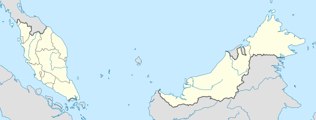 Sri Aman Location in Malaysia | ||
| Coordinates: 1°14′7″N 111°28′11″E / 1.23528°N 111.46972°E | ||
| Division Office Location | Sri Aman | |
| Local area government(s) | Majlis Daerah Sri Aman | |
| Population (2015[1]) | ||
| • Total | 102,092 | |
| Postal code | 95xxx | |
| International dialling code prefix | +6083 (landline only) | |
| Wali Kota (Council Chairman) | En. Piau ak Inggot | |
| Nickname | The Benak Town | |
| Website | Sri Aman: www.sriamandc.sarawak.gov.my | |

Sri Aman is a market town and port, and the capital of Sri Aman District and Sri Aman Division in Sarawak, east Malaysia.
Sri Aman is also called Bandar Sri Aman, and was formerly known as Simanggang. Sri Aman means "town of peace" in the Malay language. Located on the Lupar River, it is 193 kilometers, a three-hour drive, from Kuching, the capital of Sarawak. It is a trade center for the timber, oil palm, rubber, and pepper of its mostly agricultural district.
Sri Aman is famous for the benak, or tidal bore, of the Batang Lupar River.[2] The tidal bore comes in from the river mouth and fills up the river very rapidly in the course of about 10 minutes. The wave crest at Sri Aman is up to 2 to 3 metres high. This is one of approximately 48 rivers and estuaries in the world where this phenomenon happens. What is special about Sri Aman's benak is that it occurs everyday, the only river in the world that does that.
There is a timetable at the river which has the time and dates for when the tidal bore will occur, but the really big ones occur only a couple of times a year. The author Somerset Maugham almost died at Simanggang during one of these tidal bores, and commemorated the event in his short story Yellow Streak.
Sri Aman is also a gateway for tourists to the Batang Ai National Park, and cultural tours to the Iban longhouses along the rivers.
Fort Alice

Fort Alice, built in 1864, is the oldest heritage building in Sri Aman, constructed following the victory of Rajah Charles Brooke, the second Rajah of Sarawak, over Rentap, the last of the major Iban chieftains, in 186. The Fort was named after Charles Brooke's wife, Margaret Alice Lili de Windt. It served as a defensive structure controlling the Lupar River.
The structure was built on a strategic hilltop position and had a commanding view of the river with cannons bearing down to stop any threats coming from upriver. It played a major role in suppressing piracy, slavery, and head-hunting, while encouraging trade and expanding the authority of the Rajah. Fort Alice was the Simanggang administrative center, housing various government departments and even a prison.
It was here Rajah Charles used to preside as judge settling disputes among the local Ibans during his many visits to Simanggang. It was built entirely of belian (ironwood) timber. Much of the timber used was taken from an earlier fort, Fort James Brooke, which had been built further upriver in Nanga Skrang. However, Fort James was built on lowland and was hard to defend, as was proven in 1853 when one of the Rajah's officers, Alan Lee, died in an attack by the Iban chieftain Rentap.
It was decided to dismantle Fort James and to rebuild it in a more strategic and more defensible site in Simanggang District (now Sri Aman Division). Thus Fort Alice was built. Most of the original structure remains substantially intact, but it is in an extremely dilapidated and run down condition and sadly in need of urgent restoration work. Many articles have been written to highlight the sorry state of the grand old lady. Restoration for the fort had been done in April 2015 and been changed into a museum.
Education
Secondary School
- SMK St Luke (M)
- SMK Sri Aman
- SMK Simanggang
- SMK Melugu
Primary School
- SJK (C) Chung Hua Undop
- SJK (C) Chung Hua Simanggang
- SJK (C) Chung Hua Pantu
- SJK (C) Chung Hua Lingga
- SJK (C) Chung Hua Bangkong
 Fort Alice needs restoration work.
 Fort Alice in such an unfortunate state.
<website> http://kubualice.webs.com </website>
Notes
- ↑ "Sarawak: largest cities and towns and statistics of their population". The World Gazetteer. Archived from the original on 2013-02-09. Retrieved 2011-01-31.
- ↑ Chanson, H. (2009). Environmental, Ecological and Cultural Impacts of Tidal Bores, Benaks, Bonos and Burros. Proceedings of the International Workshop on Environmental Hydraulics IWEH09, Theoretical, Experimental and Computational Solutions, Valencia, Spain, 29-30 Oct., P.A. LOPEZ-JIMENEZ, V.S. FUERTES-MIQUEL, P.L. IGLESIAS-REY, G. LOPEZ-PATINO, F.J. MARTINEZ-SOLANO, and G. PALAU-SALVADOR Editors, Invited keynote lecture, 20 pages (CD-ROM).
Capital: Kuching | |||||||||||||||||||||||
| Topics |
| ||||||||||||||||||||||
| Society |
| ||||||||||||||||||||||
| Administrative divisions |
| ||||||||||||||||||||||
| |||||||||||||||||||||||
Coordinates: 1°15′N 111°27′E / 1.250°N 111.450°E