Southchurch
| Southchurch | |
 Southchurch |
|
| Population | 9,710 (2011)[1] |
|---|---|
| OS grid reference | TQ893859 |
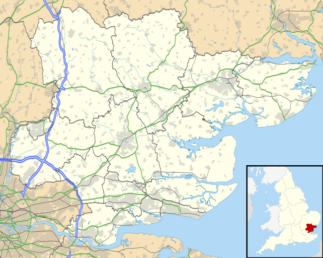
| Unitary authority | Southend-on-Sea |
| Ceremonial county | Essex |
| Region | East |
| Country | England |
| Sovereign state | United Kingdom |
| Post town | SOUTHEND-ON-SEA |
| Postcode district | SS2 |
| Dialling code | 01702 |
| Police | Essex |
| Fire | Essex |
| Ambulance | East of England |
| EU Parliament | East of England |
| UK Parliament | Rochford and Southend East |
Coordinates: 51°32′30″N 0°44′18″E / 51.5416°N 0.7383°E
Southchurch is now part of Southend-on-Sea in Essex, England. However, it was an independent parish until 1897 and has a documented history going back to the ninth century AD.
History
In 824 AD, one Leofstan (after whom Lifstan Way in Southchurch is named) is recorded as presenting the manor of Southchurch (Sudcerca in Latin) to the monks of Canterbury. This shows that the church from which the manor takes its name was already in existence. Southchurch takes its name from a Saxon church which was south of a pre-Norman minster, probably situated at Wakering.
Housing
The housing stock mainly dates from the first half of the twentieth century, when Southchurch developed from its original village into the residential district of Southend which it has now become.
Roads and Schools
Southchurch Road is the main road that runs from west to east through Southchurch. It starts at its junction with the northern end of Southend's pedestrianised High Street. It becomes part of the A13 when it passes Porter's Grange, Southend's Mayoral residence. As it enters Southchurch the number of shops gradually increase, creating a thriving retail area which continues right to the end of Southchurch Road. The A13 continues eastward along the wide, leafy, dual-carriageway - originally a tramway - which is Southchurch Boulevard until you get to Thorpe Hall Avenue beyond which is Thorpe Bay. The northern side of the Boulevard is mostly housing, the southern side is a mixture of housing situated between, from west to east, the 'Old Walnut Tree' public house (up to 2014 this was called the 'White Horse'), Southchurch parish church (Holy Trinity), Southend High School for Girls and Futures Community College. Other west-east roads south of the A13 are Southend sea front (Marine Parade/B1016 (part only)), Woodgrange Drive (entire length both east and west of Lifstan Way), Colbert Avenue, Wyatts Drive, Shaftesbury Avenue and Ambleside Drive. North of the A13 the main west-east roads are North Avenue, Central Avenue and South Avenue.
The main north-south roads are Southchurch Avenue, Lifstan Way and Thorpe Hall Avenue. Lifstan Way runs directly down to the seafront with Southchurch Park to the west which includes a cricket ground and athletics ground, children's playground, an ornamental lake, and a refreshment pavilion, and Southchurch Park East to the other side. The main park also contains a bowling green, tennis courts and the home ground of Southend Manor Youth Football Club. At the north-western corner of the Park is Southchurch Park United Reformed Church. Nearby, to the east, are Thorpe Greenways Infant and Junior Schools.
Churches
Holy Trinity Church is the original parish church of Southchurch. The oldest parts of this church date back to the Saxon era, with later additions in the early 20th century.[2] Christ Church (Church of England) is in Colbert Avenue, just to the east of Southchurch Park East. This parish was carved out of Holy Trinity in 1922. It began as a mission church in Elizabeth Road, which runs from the seafront to Southchurch Park.
Rail
Southchurch is served by Southend East railway station. In 2004 the station signs were amended, following a campaign by local residents, traders and some local councillors, to "Southend East for Southchurch Village".
Attractions
To the south of the station is Southchurch Hall, a thirteenth-century moated manor house now open to the public as a museum, which stands in a small park, Southchurch Hall Gardens.
Demography
At the 2001 UK census, the Southchurch electoral ward had a population of 9,467. The ethnicity was 96.3% white, 0.7% mixed race, 2.6% Asian, 0.3% black and 0.1% other. The place of birth of residents was 94.9% United Kingdom, 0.6% Republic of Ireland, 0.9% other Western European countries, and 3.6% elsewhere. Religion was recorded as 68.9% Christian, 0.2% Buddhist, 0.9% Hindu, 0.2% Sikh, 2.1% Jewish, and 1% Muslim. 17.3% were recorded as having no religion, 0.3% had an alternative religion and 9.2% did not state their religion.[3]
The economic activity of residents aged 16–74 was 32.6% in full-time employment, 12.6% in part-time employment, 8.9% self-employed, 2.8% unemployed, 2% students with jobs, 3.4% students without jobs, 20.4% retired, 9.5% looking after home or family, 4.8% permanently sick or disabled and 3% economically inactive for other reasons. The industry of employment of residents was 15.6% retail, 9.5% manufacturing, 7.9% construction, 13.9% real estate, 10% health and social work, 6.7% education, 6.4% transport and communications, 6.2% public administration, 3% hotels and restaurants, 13.9% finance, 0.8% agriculture and 6.1% other. Compared with national figures, the ward had a relatively high proportion of workers in finance and construction. Of the ward's residents aged 16–74, 12.3% had a higher education qualification or the equivalent, compared with 19.9% nationwide. According to Office for National Statistics estimates, during the period of April 2004 to March 2005 the average gross weekly income of households was £560, compared with an average of £650 in South East England.[3]
Gallery
 Southchurch Hall
 Holy Trinity Church, Southchurch
References
| Wikimedia Commons has media related to Southchurch. |
- ↑ "Southend Ward population 2011". Neighbourhood Statistics. Office for National Statistics. Retrieved 21 September 2015.
- ↑ http://www.holytrinitysouthchurch.org/#!history/c6nk
- 1 2 "Neighbourhood Statistics". Statistics.gov.uk. Retrieved 2008-04-20.