South St. Paul Municipal Airport
| South St. Paul Municipal Airport Richard E. Fleming Field | |||||||||||
|---|---|---|---|---|---|---|---|---|---|---|---|
 | |||||||||||
| IATA: none – ICAO: KSGS – FAA LID: SGS | |||||||||||
| Summary | |||||||||||
| Airport type | Public | ||||||||||
| Owner | City of South St. Paul | ||||||||||
| Serves | South St. Paul, Minnesota | ||||||||||
| Elevation AMSL | 820 ft / 250 m | ||||||||||
| Website | www.flemingfield.com | ||||||||||
| Map | |||||||||||
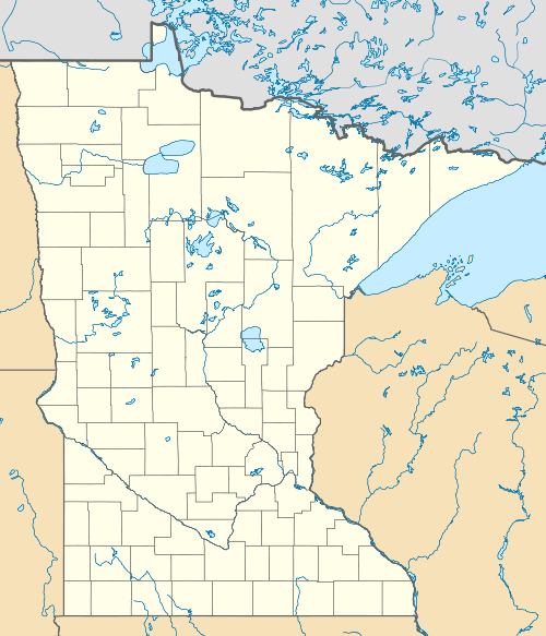
 SGS  SGS Location of airport in Minnesota/United States | |||||||||||
| Runways | |||||||||||
| |||||||||||
| Statistics (2006) | |||||||||||
| |||||||||||
South St. Paul Municipal Airport (ICAO: KSGS, FAA LID: SGS), also known as Richard E. Fleming Field or simply Fleming Field, is a city-owned public-use airport located two miles (3 km) south of the central business district of South St. Paul, a city in Dakota County, Minnesota, United States.[1] It is named for Richard E. Fleming, a United States Marine Corps Naval Aviator during World War II who was posthumously awarded a Medal of Honor.
Although most U.S. airports use the same three-letter location identifier for the FAA and IATA, South St. Paul Municipal Airport is assigned SGS by the FAA but has no designation from the IATA.[2]
Facilities and aircraft
South St. Paul Municipal-Richard E. Fleming Field covers an area of 270 acres (110 ha) and contains one asphalt paved runway designated 16/34 which measures 4,001 x 100 ft (1,220 x 30 m). For the 12-month period ending July 31, 2006, the airport had 51,000 general aviation aircraft operations, an average of 139 per day. There are 217 aircraft based at this airport: 97% single-engine and 3% multi-engine.[1]
References
- 1 2 3 FAA Airport Master Record for SGS (Form 5010 PDF), effective 2007-12-20
- ↑ KSGS - South St. Paul Municipal Airport - South St. Paul, Minnesota at Great Circle Mapper
External links
- South Saint Paul Fleming Field, official web site
- "Minnesota Airport Directory: South St. Paul Municipal Airport" (PDF). (324 KiB)
- Resources for this airport:
- FAA airport information for SGS
- AirNav airport information for KSGS
- FlightAware airport information and live flight tracker
- NOAA/NWS latest weather observations
- SkyVector aeronautical chart, Terminal Procedures