South Hanningfield
| South Hanningfield | |
 Village sign |
|
 South Hanningfield |
|
| Population | 2,629 (2011 Census)[1] |
|---|---|
| OS grid reference | TQ743976 |
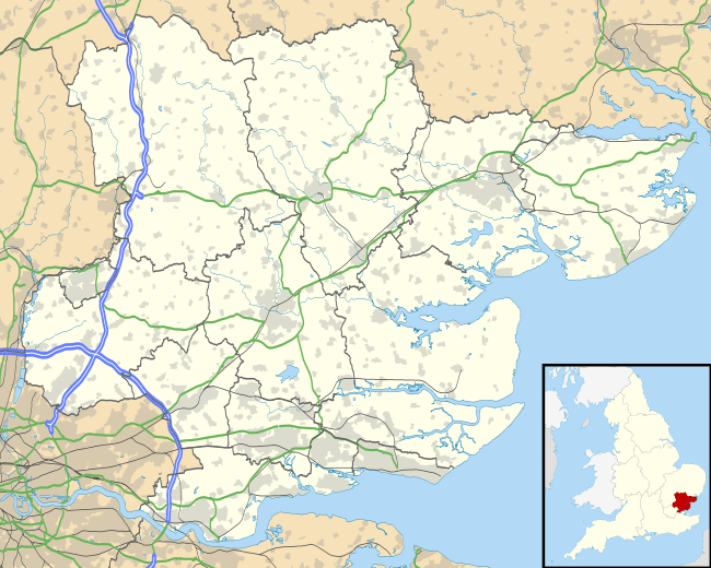
| Civil parish | South Hanningfield |
| District | Chelmsford |
| Shire county | Essex |
| Region | East |
| Country | England |
| Sovereign state | United Kingdom |
| Post town | CHELMSFORD |
| Postcode district | CM3 |
| Dialling code | 01268 |
| Police | Essex |
| Fire | Essex |
| Ambulance | East of England |
| EU Parliament | East of England |
| UK Parliament | Maldon |
| Website | South Hanningfield village |
Coordinates: 51°39′01″N 0°31′06″E / 51.6504°N 0.5183°E
South Hanningfield is a small village and civil parish[2] in the Chelmsford district of Essex, England. The village is located on the south bank of the Hanningfield Reservoir, around 6 miles (10 km) south-southeast of the city of Chelmsford, and around 2 1⁄2 miles (4 km) north of Wickford.
The centre of South Hanningfield is situated around the village green, known as the Tye. A village hall is located on the east side of the Tye, while on the west side is a pub, the Old Windmill. There are approximately 80 households in the village.[3]
The civil parish includes the larger villages of Ramsden Heath and Downham.
See also
References
- ↑ "Civil Parish population 2011". Neighbourhood Statistics. Office for National Statistics. Retrieved 2 September 2016.
- ↑ "Parish Profiles". Chelmsford City Council. Retrieved 9 May 2016.
- ↑ "Statistics". RamsdenHeath.info. Archived from the original on 27 September 2007. Retrieved 14 March 2007.
External links
![]() Media related to South Hanningfield at Wikimedia Commons
Media related to South Hanningfield at Wikimedia Commons
Towns, villages and hamlets of the City of Chelmsford | ||
|---|---|---|
| ||
| Towns | ||
| Villages and hamlets |
| |
This article is issued from Wikipedia - version of the 9/2/2016. The text is available under the Creative Commons Attribution/Share Alike but additional terms may apply for the media files.