Sopó
| Sopó | |||
|---|---|---|---|
|
Church and cultural center of Sopó | |||
| |||
 Location of the municipality and town inside Cundinamarca department of Colombia | |||
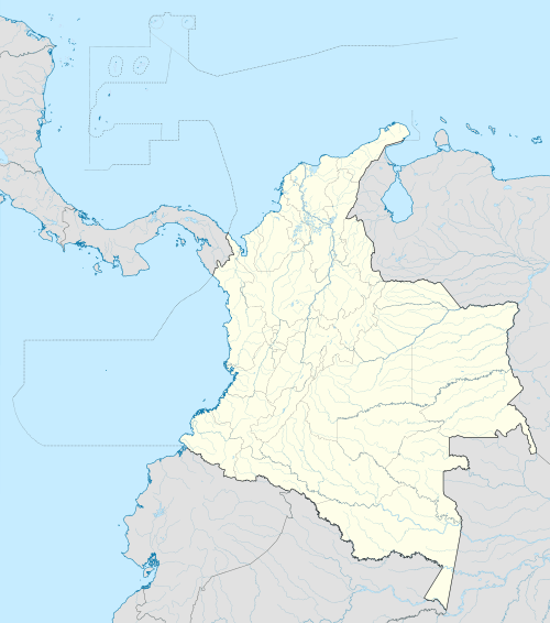 Sopó Location in Colombia | |||
| Coordinates: 4°55′N 73°56′W / 4.917°N 73.933°WCoordinates: 4°55′N 73°56′W / 4.917°N 73.933°W | |||
| Country |
| ||
| Department |
| ||
| Province | Central Savanna Province | ||
| Founded | 25 May 1653 | ||
| Founded by | Friar Francisco Chacón | ||
| Government | |||
| • Mayor |
William Octavio Venegas (2016–2019) | ||
| Area | |||
| • City | 111.5 km2 (43.1 sq mi) | ||
| • Urban | 1.06 km2 (0.41 sq mi) | ||
| Elevation | 2,650 m (8,690 ft) | ||
| Population (2015) | |||
| • City | 26,769 | ||
| • Density | 240/km2 (620/sq mi) | ||
| • Urban | 17,151 | ||
| Demonym(s) | Sopanos | ||
| Website | Official website | ||

.svg.png)

Sopó is a municipality and town of Colombia in the department of Cundinamarca. The town is located 39 km north of the Colombian capital Bogotá.
History
The area of Sopó was inhabited first by indigenous groups during the Herrera Period and later the Muisca before the arrival of the Spanish in 1537. It was part of the zipazgo ruled from Bacatá.
In the coat of arms of the town in the lower left quadrant a Muisca pattern can be seen.
Economy
The major economical activity in Sopó is agriculture and especially dairy. The third largest Colombian dairy company Alpina was founded in Sopó in 1945.[1]
Gallery
 Alpina wholesale
 Sendero de la Cruz walking trail
 Mono de la Pila
oldest statue in Sopó
References
- ↑ (Spanish) Official website Sopó
| Wikimedia Commons has media related to Sopó. |
This article is issued from Wikipedia - version of the 8/1/2016. The text is available under the Creative Commons Attribution/Share Alike but additional terms may apply for the media files.