Sookerating Air Force Station
| Sookerating Air Force Station एयर फोर्स स्टेशन सूकेरटिंग  | |||||||||||
|---|---|---|---|---|---|---|---|---|---|---|---|
 Sookerating Air Force Station Sookerating Air Force Station (India) | |||||||||||
| Summary | |||||||||||
| Airport type | Military | ||||||||||
| Operator | Indian Air Force | ||||||||||
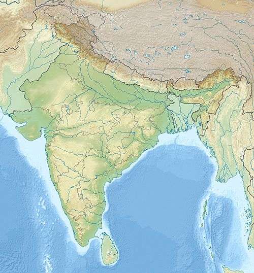
| Location | Sookerating, India | ||||||||||
| Elevation AMSL | 400 ft / 122 m | ||||||||||
| Coordinates | 27°33′10.30″N 095°34′14.34″E / 27.5528611°N 95.5706500°ECoordinates: 27°33′10.30″N 095°34′14.34″E / 27.5528611°N 95.5706500°E | ||||||||||
| Runways | |||||||||||
| |||||||||||
Sookerating Air Force Station is an Indian Air Force base located at Sookerating in the state of Assam, India. It is a secondary airport for the Indian Air Force, which operates much more actively from other air bases in the region..
During World War II, the airfield was used as a transport base by the United States Army Air Forces Tenth Air Force and Air Transport Command. From the airfield, numerous C-46 Commando aircraft flew north into China over "the Hump" to resupply Allied forces. The airfield was also used as a combat fighter airfield in 1942 to defend the Assam Valley against Japanese forces advancing from Burma.
References
![]() This article incorporates public domain material from the Air Force Historical Research Agency website http://www.afhra.af.mil/.
This article incorporates public domain material from the Air Force Historical Research Agency website http://www.afhra.af.mil/.
- Maurer, Maurer (1983). Air Force Combat Units Of World War II. Maxwell AFB, Alabama: Office of Air Force History. ISBN 0-89201-092-4.
External links
| Airfields |
| .png) | |||||||||||||||||||||||||||
|---|---|---|---|---|---|---|---|---|---|---|---|---|---|---|---|---|---|---|---|---|---|---|---|---|---|---|---|---|---|
| Units |
| ||||||||||||||||||||||||||||