Skyborry Green
| Skyborry Green | |
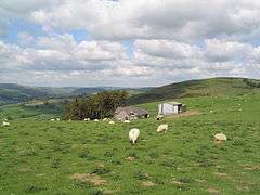 Farm buildings above Skyborry Green, on the slopes of the Teme valley |
|
 Skyborry Green |
|
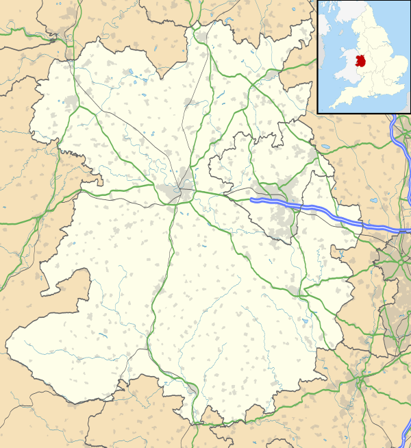
| OS grid reference | SO264744 |
|---|---|
| Civil parish | Llanfair Waterdine |
| Unitary authority | Shropshire |
| Ceremonial county | Shropshire |
| Region | West Midlands |
| Country | England |
| Sovereign state | United Kingdom |
| Post town | KNIGHTON |
| Postcode district | LD7 |
| Dialling code | 01547 |
| Police | West Mercia |
| Fire | Shropshire |
| Ambulance | West Midlands |
| EU Parliament | West Midlands |
| UK Parliament | Ludlow |
|
|
Coordinates: 52°21′47″N 3°04′48″W / 52.363°N 3.080°W
Skyborry Green is a hamlet consisting of a small number of houses and a farm in Shropshire, England, 2 miles (3 km) northwest of Knighton. The hamlet population taken at the 2011 census can be found under Llanfair Waterdine. The Welsh border lies very close.
The name is an anglicisation of the Welsh for barn - ysgubor.[1]
Skyborry Green lies at between 180m and 200m above sea level on the northern (English) side of the Teme valley. Nearby is Monaughty Poeth farm. The River Teme runs to the south of the hamlet. The Welsh border roughly follows the river here.
Less than 1 mile (2 km) southeast is the hamlet of Nether Skyborry. To the northwest is the small village of Llanfair Waterdine and the Welsh village of Knucklas, which has an ancient castle mound monument and railway station, is to the west.
See also
References
- ↑ Mark Nodine. "Welsh/English translation". Retrieved 11 March 2008.
External links
![]() Media related to Skyborry Green at Wikimedia Commons
Media related to Skyborry Green at Wikimedia Commons
| Unitary authorities | |
|---|---|
| Major settlements | |
| Rivers | |
| Canals | |
| Topics | |