Skare
| Skare | |
|---|---|
| Village | |
|
View of the village | |
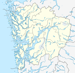 Skare  Skare Location in Hordaland county | |
| Coordinates: 59°56′09″N 06°35′38″E / 59.93583°N 6.59389°ECoordinates: 59°56′09″N 06°35′38″E / 59.93583°N 6.59389°E | |
| Country | Norway |
| Region | Western Norway |
| County | Hordaland |
| District | Hardanger |
| Municipality | Odda |
| Area[1] | |
| • Total | 0.29 km2 (0.11 sq mi) |
| Elevation[2] | 313 m (1,027 ft) |
| Population (2013)[1] | |
| • Total | 320 |
| • Density | 1,103/km2 (2,860/sq mi) |
| Time zone | CET (UTC+01:00) |
| • Summer (DST) | CEST (UTC+02:00) |
| Post Code | 5763 Skare |

Skare or Skarde is a village in Odda municipality in Hordaland county, Norway. The village is located about 15 kilometres (9.3 mi) straight south of the town of Odda and about 5 kilometres (3.1 mi) northwest of the village of Seljestad. The village sits at the junction of Norwegian National Road 13 and European route E134. Skare Church is located in the village.[3] The 0.29-square-kilometre (72-acre) village has a population (2013) of 320, giving the village a population density of 1,103 inhabitants per square kilometre (2,860/sq mi).[1] The Espelandsfossen waterfall lies about 1.5 kilometres (0.93 mi) north of the village, just off the side of the National Road 13.
References
- 1 2 3 Statistisk sentralbyrå (1 January 2013). "Urban settlements. Population and area, by municipality.".
- ↑ "Skare, Odda (Hordaland)" (in Norwegian). yr.no. Retrieved 2014-06-07.
- ↑ Store norske leksikon. "Skare" (in Norwegian). Retrieved 2014-06-07.
This article is issued from Wikipedia - version of the 8/4/2016. The text is available under the Creative Commons Attribution/Share Alike but additional terms may apply for the media files.