Skanderborg Municipality

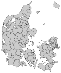
Skanderborg Municipality is a municipality (Danish, kommune) in Region Midtjylland on the Jutland peninsula in central Denmark, just southwest of Aarhus and is a part of the East Jutland metropolitan area. It has an area of 429.17 km², and has a population of 58,283 (1 April 2014).
Its mayor as of 1 January 2010 is Jørgen Gaarde, representing the Social Democrats political party.
Skanderborg is the municipality's main town, and serves as the seat of the municipal council.
On 1 January 2007 Skanderborg municipality was, as the result of Kommunalreformen ("The Municipal Reform" of 2007), merged with Galten, Ry, and Hørning municipalities, along with Voerladegård Parish from Brædstrup municipality, to form the present, expanded "Skanderborg Municipality". The former municipality covered an area of 143.22 km², and had a population of 21,745 (2003). Its last mayor was Aleksander Aagaard, a member of the agrarian liberal Venstre political party.
Geography
The municipality has two of the three highest natural points of terrain, namely Møllehøj at 170.86 metres (560.56 ft), and Ejer Bavnehøj at 170.35 metres (558.89 ft), in the southern part, southwest of the city of Skanderborg. Himmelbjerget at 147 metres (482.28 ft), is in the western part of the municipality, and Yding Skovhøj at 170.77 metres (560.27 ft), is in neighboring Horsens municipality, west of the other two highest points of natural terrain.
References
- Municipal statistics: NetBorger Kommunefakta, delivered from KMD aka Kommunedata (Municipal Data)
- Municipal merges and neighbors: Eniro new municipalities map
External links
| Municipalities | 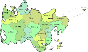 | |
|---|---|---|
| Cities and towns | ||
| Geographic features | ||
| ||
Coordinates: 56°02′N 9°55′E / 56.04°N 9.91°E