Skåre, Norway
| Skåre herad | |
|---|---|
| Former Municipality | |
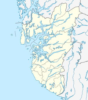 Skåre herad Location in Rogaland county | |
| Coordinates: 59°25′10″N 05°15′48″E / 59.41944°N 5.26333°ECoordinates: 59°25′10″N 05°15′48″E / 59.41944°N 5.26333°E | |
| Country | Norway |
| Region | Western Norway |
| County | Rogaland |
| District | Haugaland |
| Municipality ID | NO-1153 |
| Adm. Center | Skåre |
| Area[1] | |
| • Total | 68 km2 (26 sq mi) |
| Time zone | CET (UTC+01:00) |
| • Summer (DST) | CEST (UTC+02:00) |
| Created from | Torvastad in 1881 |
| Merged into | Haugesund in 1958 |
Skåre is a former municipality in Rogaland county, Norway. The 68-square-kilometre (26 sq mi) municipality existed from 1881 until 1958 when it was merged into the neighboring town of Haugesund. Originally, it encompased the far northwestern corner of Rogaland county, plus several islands off the western coast. Today, Skåre refers to the northern part of the town of Haugesund.[1]
History
The municipality of Skaare (later changed to Skåre) was created on 1 November 1881 when it was split off from the municipality of Torvastad. The new municipality had a population of 1,665. On 1 January 1911, a part of Skåre (population: 3,847) bordering the neighboring town of Haugesund was transferred to Haugesund. On 1 January 1958, the rest of Skåre (population: 6,772) was merged into the town of Haugesund, greatly expanding the size of the town.[2]
References
- 1 2 Store norske leksikon. "Skåre" (in Norwegian). Retrieved 2015-09-29.
- ↑ Jukvam, Dag (1999). "Historisk oversikt over endringer i kommune- og fylkesinndelingen" (PDF) (in Norwegian). Statistisk sentralbyrå.