Sikhoraphum District
| Sikhoraphum ศีขรภูมิ | |
|---|---|
| Amphoe | |
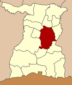 Amphoe location in Surin Province | |
| Coordinates: 14°56′48″N 103°47′30″E / 14.94667°N 103.79167°ECoordinates: 14°56′48″N 103°47′30″E / 14.94667°N 103.79167°E | |
| Country |
|
| Province | Surin |
| Area | |
| • Total | 561.623 km2 (216.844 sq mi) |
| Population (2005) | |
| • Total | 138,020 |
| • Density | 245.8/km2 (637/sq mi) |
| Time zone | THA (UTC+7) |
| Postal code | 32150 |
| Geocode | 3209 |
Sikhoraphum (Thai: ศีขรภูมิ) is a district (Amphoe) in the central part of Surin Province, northeastern Thailand.
Geography
Neighboring districts are (from the north clockwise) Sanom and Samrong Thap of Surin Province, Prang Ku of Sisaket Province, Si Narong, Lamduan, Mueang Surin, Khwao Sinarin and Chom Phra of Surin again.
Administration

Prasat Sikhoraphum Temple
The district is subdivided into 15 subdistricts (tambon), which are further subdivided into 226 villages (muban). Ra Ngaeng is a township (thesaban tambon) which covers parts of tambon Ra Ngaeng. There are further 15 Tambon administrative organizations (TAO).
| No. | Name | Thai name | Villages | Inh. | |
|---|---|---|---|---|---|
| 1. | Ra-ngaeng | ระแงง | 14 | 11,352 | |
| 2. | Truem | ตรึม | 18 | 10,308 | |
| 3. | Charaphat | จารพัต | 19 | 10,558 | |
| 4. | Yang | ยาง | 18 | 9,953 | |
| 5. | Taen | แตล | 22 | 12,974 | |
| 6. | Nong Bua | หนองบัว | 18 | 8,881 | |
| 7. | Khalamae | คาละแมะ | 15 | 6,524 | |
| 8. | Nong Lek | หนองเหล็ก | 18 | 12,620 | |
| 9. | Nong Khwao | หนองขวาว | 17 | 9,390 | |
| 10. | Chang Pi | ช่างปี่ | 14 | 10,433 | |
| 11. | Kut Wai | กุดหวาย | 14 | 8,106 | |
| 12. | Khwao Yai | ขวาวใหญ่ | 9 | 5,532 | |
| 13. | Na Rung | นารุ่ง | 9 | 5,603 | |
| 14. | Trom Phrai | ตรมไพร | 10 | 8,119 | |
| 15. | Phak Mai | ผักไหม | 11 | 7,667 |
This article is issued from Wikipedia - version of the 10/26/2015. The text is available under the Creative Commons Attribution/Share Alike but additional terms may apply for the media files.