Shoal Lakes (Manitoba)
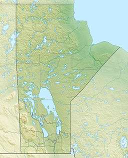
The Shoal Lakes are lakes located in the southern Interlake region of Manitoba in Canada between Lake Winnipeg and Lake Manitoba. They refer to North Shoal Lake, West Shoal Lake, and East Shoal Lake.[1] The surrounding territory is generally cattle pasture, with some rocky areas. Because of the flat nature of the surrounding terrain, small fluctuations in water level significantly affect the local habitat. The lakes are a significant location for migrating and nesting waterfowl.[2]
History
.jpg)
The three lakes were originally one lake. In 1912 the Wagon Creek Drain was constructed and the water level fell four to five metres, creating three separate alkaline lakes containing a number of islands.[2]
2010 flood
In 2010 the three lakes flooded into one lake,[3] leaving Highway 299 west of Highway 17 underwater and damaged for 2.5 miles. Highway 518 (Ideal Road) was underwater for one mile south of Highway 415, and Highway 415 west of Inwood, Manitoba was underwater for 2-3 miles.
References
- ↑ "Natural Resources Canada-Canadian Geographical Names (East Shoal Lake)". Retrieved 2015-02-01.
- 1 2 "IBA Canada (North, West, and East Shoal lakes)". 2010-09-10. Retrieved 2015-02-01.
- ↑ "Winnipeg Free Press (Invasion of the Shoal Lakes by Laura Rance)". 2010-09-10. Retrieved 2015-02-01.
External links
Coordinates: 50°22′04″N 97°36′32″W / 50.3678°N 97.6089°W