Sheep Creek (Bruneau River)
| Sheep Creek | |
.jpg) Sheep Creek | |
| Country | United States |
|---|---|
| States | Idaho, Nevada |
| Counties | Owyhee County, Idaho, Elko County, Nevada |
| Source | |
| - location | east of Owyhee, Nevada, Elko County, Nevada |
| - elevation | 6,126 ft (1,867 m) [1] |
| - coordinates | 41°58′18″N 115°55′07″W / 41.97167°N 115.91861°W [2] |
| Mouth | Bruneau River |
| - location | Bruneau – Jarbidge Rivers Wilderness, Owyhee County, Idaho |
| - elevation | 3,415 ft (1,041 m) [2] |
| - coordinates | 42°29′55″N 115°35′50″W / 42.49861°N 115.59722°WCoordinates: 42°29′55″N 115°35′50″W / 42.49861°N 115.59722°W [2] |
| Length | 63 mi (101 km) [3] |
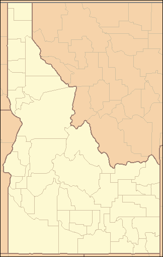 Location of the mouth of Sheep Creek in Idaho | |
Sheep Creek is a 63-mile (101 km) long[3] tributary of the Bruneau River. Beginning at an elevation of 6,126 feet (1,867 m)[1] east of Owyhee in northern Elko County, Nevada, it flows generally north into Owyhee County, Idaho and the Owyhee Desert, where it is roughly paralleled by Idaho State Highway 51. It then flows to its mouth in the Bruneau – Jarbidge Rivers Wilderness,[4] at an elevation of 3,415 feet (1,041 m).[2] In 2009, 25.6 miles (41.2 km) of the creek were designated as wild by the Omnibus Public Land Management Act, which also created the Bruneau – Jarbidge Rivers Wilderness.[5][6]
See also
- List of rivers of Idaho
- List of longest streams of Idaho
- List of rivers of Nevada
- List of National Wild and Scenic Rivers
References
- 1 2 Source elevation derived from Google Earth search using GNIS source coordinates.
- 1 2 3 4 "Sheep Creek". Geographic Names Information System. United States Geological Survey. June 21, 1979. Retrieved July 15, 2013.
- 1 2 "National Hydrography Dataset". United States Geological Survey. Retrieved July 15, 2013.
- ↑ Idaho Road and Recreation Atlas (Map) (2nd ed.). 1:250,000. Benchmark Maps. 2010. p. 82. ISBN 978-0-929591-06-3. OCLC 567571371.
- ↑ "Sheep Creek, Idaho". National Wild and Scenic Rivers System. Retrieved July 15, 2013.
- ↑ "Wild and Scenic Rivers". Bureau of Land Management. June 20, 2013. Retrieved July 15, 2013.
This article is issued from Wikipedia - version of the 9/11/2016. The text is available under the Creative Commons Attribution/Share Alike but additional terms may apply for the media files.