Shibin El Kom
Coordinates: 30°33′31″N 31°0′36″E / 30.55861°N 31.01000°E
| Shibin El Kom شبين الكوم | |
|---|---|
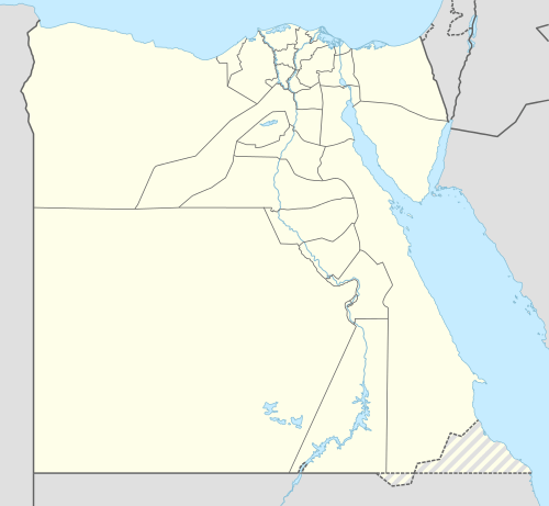 Shibin El Kom Location in Egypt | |
| Coordinates: 30°33′31″N 31°00′36″E / 30.55861°N 31.01000°E | |
| Country |
|
| Governorate | Monufia |
| Elevation | 9 m (30 ft) |
| Population (2012) | |
| • City | 186,345 |
| • Metro | 630,000 |
| Time zone | EET (UTC+2) |
| Area code(s) | (+20) 48 |
Shibin El Kom (Egyptian Arabic: شبين الكوم pronounced [ʃɪˈbiːn elˈkoːm], colloquially shortened to Shibin) is a city in Egypt's Nile Delta, and the capital of the Monufia Governorate.
Facilities
While the city is not a new one, its infrastructure is being modernized. The most important central and local government offices are located in the city, as well as the main branches of Menoufia University. The city has several public and private schools, hospitals, a large stadium, telecommunication central office of Telecom Egypt, internet service providers, organized trade unions (medical, commercial, agriculture, engineering, etc.), athletic teams, political parties and social organizations and a chamber of commerce.
Economy
The economy of the city depends on industry, commerce and to a lesser extent on agriculture.
Climate
Shibin's climate is classified by Köppen-Geiger climate classification system as hot desert (BWh), as the rest of Egypt.
The highest record temperature was 48 °C (118 °F) recorded on June 7, 1961 while the lowest record temperature was −3 °C (27 °F) recorded on January 23, 1996.[1]
| Climate data for Shibin Al Kawm, Egypt | |||||||||||||
|---|---|---|---|---|---|---|---|---|---|---|---|---|---|
| Month | Jan | Feb | Mar | Apr | May | Jun | Jul | Aug | Sep | Oct | Nov | Dec | Year |
| Record high °C (°F) | 31 (88) |
37 (99) |
40 (104) |
46 (115) |
44 (111) |
48 (118) |
44 (111) |
44 (111) |
44 (111) |
41 (106) |
39 (102) |
33 (91) |
48 (118) |
| Average high °C (°F) | 18.9 (66) |
21 (70) |
23.7 (74.7) |
27.3 (81.1) |
32.1 (89.8) |
34.5 (94.1) |
34.5 (94.1) |
34.5 (94.1) |
32.4 (90.3) |
29.9 (85.8) |
25 (77) |
20.5 (68.9) |
27.86 (82.16) |
| Daily mean °C (°F) | 12.2 (54) |
13.9 (57) |
16.2 (61.2) |
19.1 (66.4) |
23.7 (74.7) |
26.4 (79.5) |
27.1 (80.8) |
27.1 (80.8) |
25.1 (77.2) |
22.6 (72.7) |
18.7 (65.7) |
14.1 (57.4) |
20.52 (68.95) |
| Average low °C (°F) | 5.6 (42.1) |
6.9 (44.4) |
8.8 (47.8) |
11 (52) |
15.3 (59.5) |
18.3 (64.9) |
19.7 (67.5) |
19.7 (67.5) |
17.8 (64) |
15.3 (59.5) |
12.5 (54.5) |
7.8 (46) |
13.23 (55.81) |
| Record low °C (°F) | −3 (27) |
−2 (28) |
0 (32) |
3 (37) |
9 (48) |
10 (50) |
17 (63) |
14 (57) |
16 (61) |
10 (50) |
2 (36) |
−2 (28) |
−3 (27) |
| Average precipitation mm (inches) | 7 (0.28) |
6 (0.24) |
3 (0.12) |
2 (0.08) |
0 (0) |
0 (0) |
0 (0) |
0 (0) |
0 (0) |
2 (0.08) |
4 (0.16) |
8 (0.31) |
32 (1.27) |
| Source #1: Climate-Data.org[2] | |||||||||||||
| Source #2: Voodoo Skies[1] for record temperatures | |||||||||||||
References
- 1 2 "Shibin el-Kom, Egypt". Voodoo Skies. Retrieved 4 July 2013.
- ↑ "Climate: Shibin Al-Kom - Climate graph, Temperature graph, Climate table". Climate-Data.org. Retrieved 13 August 2013.