Shaartuz
| Shahritus Шаҳритус | |
|---|---|
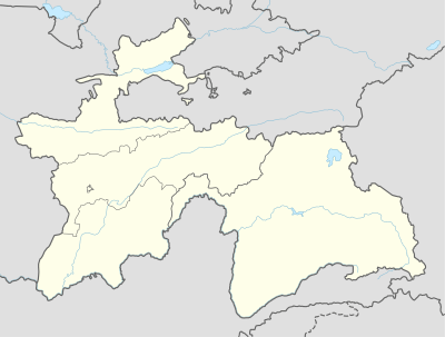 Shahritus Location in Tajikistan | |
| Coordinates: 37°16′N 68°08′E / 37.267°N 68.133°E | |
| Country |
|
| Province | Khatlon |
| Elevation[1] | 367 m (1,204 ft) |
| Population (2006) | |
| • Total | 13,400 |
| Time zone | UTC+5 |
Shahritus (Tajik: Шаҳритус شهر توس, Uzbek: Shaartuz) also spelled as Shaartuz (Russian: Шаартуз) is a city in southwestern Tajikistan. Situated on the River Kafirnigan, the city was founded in 1938.
Geography
Jamoats
There are 6 jamoats in Shaartuz district.
- Shaartuz
- Pakhtaobod
- Obshoron
- Sayod
- Jura Nazarov
- Holmatov
Climate
The Köppen Climate Classification sub-type for Shahritus is "BSk" or a Tropical and Subtropical Steppe Climate. The average annual temperature is 17.2°C (63.0°F). The warmest month is July with an average temperature of 30.2°C (86.4°F) and the coolest month is January with an average temperature of 3.3°C (37.9°F). The average annual precipitation is 235.7mm (9.2") and has an average of 59.2 days with precipitation. The wettest month is March with an average of 58.0mm (2.3") of precipitation and the driest month is August with an average of 0mm of precipitation.[1]
| Climate data for Shahritus | |||||||||||||
|---|---|---|---|---|---|---|---|---|---|---|---|---|---|
| Month | Jan | Feb | Mar | Apr | May | Jun | Jul | Aug | Sep | Oct | Nov | Dec | Year |
| Daily mean °C (°F) | 3.3 (37.9) |
5.8 (42.4) |
11.6 (52.9) |
18.2 (64.8) |
23.5 (74.3) |
28.6 (83.5) |
30.2 (86.4) |
28.1 (82.6) |
23.2 (73.8) |
17.0 (62.6) |
10.7 (51.3) |
5.8 (42.4) |
17.2 (63) |
| Average precipitation mm (inches) | 34.5 (1.358) |
37.2 (1.465) |
58.0 (2.283) |
39.0 (1.535) |
18.8 (0.74) |
0.5 (0.02) |
0.2 (0.008) |
0.0 (0) |
0.1 (0.004) |
5.7 (0.224) |
16.0 (0.63) |
25.7 (1.012) |
235.7 (9.28) |
| Average precipitation days (≥ 0.1 mm) | 7.9 | 8.6 | 11.1 | 9.1 | 5.9 | 0.8 | 0.4 | 0.0 | 0.1 | 2.8 | 4.8 | 7.7 | 59.2 |
| Average relative humidity (%) | 74.1 | 70.8 | 67.7 | 62.5 | 49.1 | 33.7 | 32.3 | 33.4 | 36.4 | 46.8 | 60.3 | 71.5 | 53.2 |
| Source: "The Climate of Shahritus". Weatherbase. Retrieved 4 August 2014. | |||||||||||||
Transport
The railway crosses the river at this point.
See also
References
- 1 2 "Climate of Shahritus". Weatherbase.com. Retrieved 4 August 2014.
External links
Coordinates: 37°16′N 68°08′E / 37.267°N 68.133°E
| Capital | 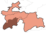 | |
|---|---|---|
| Districts | ||
| Main cities and towns | ||