Serang Regency
| Serang Regency (Kabupaten Serang) | ||
|---|---|---|
| Regency | ||
| ||
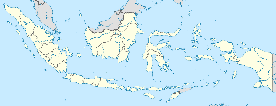 Serang Regency Location of Serang in Indonesia | ||
| Coordinates: 6°7′12″S 106°9′1″E / 6.12000°S 106.15028°ECoordinates: 6°7′12″S 106°9′1″E / 6.12000°S 106.15028°E | ||
| Country |
| |
| Province | Banten | |
| Government | ||
| • Regent | Ahmad Taufik Nuriman | |
| • Vice Regent | Ratu Tatu Chasanah | |
| Area | ||
| • Total | 1,734.28 km2 (669.61 sq mi) | |
| Population (2014) | ||
| • Total | 1,561,401 | |
| • Density | 900/km2 (2,300/sq mi) | |
| Time zone | WIB (UTC+7) | |
| Website |
www | |
Serang (Kabupaten Serang) is a regency of Banten province, Indonesia. The administrative center of the regency is at Baros, while the capital of the province is the independent municipality of Serang (Kota Serang) which was split off the regency in 2007. Serang is about 10 km from Old Banten, the eponymous former sultanate's capital. Merak, a major port and ferry terminal, is located just west of the regency. Serang Regency and its capital have experience a heavy influx of residents as Jakarta continues its outward growth; some planning agencies consider it to be part of the metropolitan area. It shares its eastern border with Tangerang Regency of Jabodetabek.
Serang Regency covers an area of 1,734.28 km2, and had a population of 1,402,818 at the 2010 Census;[1] the latest official estimate (for January 2014) is 1,561,401.[2] Including Cilegon and Serang cities which the regency surrounds, the 2014 population amounted to 2,621,4032 inhabiting 2,176.49 km2, for an overall density of over 1,200 per km2.[3]

Serang is bounded by Java Sea to the north, Sunda Strait to the west, Tangerang Regency of Greater Jakarta to the east, Lebak Regency and Pandeglang Regency to the south.
Administrative districts
The Regency is divided into 28 districts (kecamatan), listed below with their populations at the 2010 Census:[4]
- Cinangka (53,323)
- Padarincang (61,357)
- Ciomas (37,112)
- Pabuaran (38,005)
- Gunung Sari (19,359)
- Baros (51,293)
- Petir (50,134)
- Tunjung Teja (38,933)
- Cikeusal (64,872)
- Pamarayan (48,820)
- Bandung (30,540)
- Jawilan (52,448)
- Kopo (48,183)
- Cikande (91,834)
- Kibin (67,194)
- Kragilan (79,627)
- Waringinkurung (41,290)
- Mancak (43,275)
- Anyar (51,124)
- Bojonegara (41,526)
- Pulo Ampel (34,098)
- Kramatwatu (87,326)
- Ciruas (79,500)
- Pontang (48,582)
- Carenang (41,303)
- Binuang (27,359)
- Tirtayasa (37,815)
- Tanara (36,897)
References
- ↑ Biro Pusat Statistik, Jakarta, 2011.
- ↑ Biro Pusat Statistik, Jakarta, 2014.
- ↑ http://www.bps.go.id/aboutus.php?sp=0&kota=36
- ↑ Biro Pusat Statistik, Jakarta, 2010.
 |
Cilegon (City) | Java Sea, Serang (city) | Java Sea | |
| Sunda Strait | |
Tangerang Regency | ||
| ||||
| | ||||
| Sunda Strait | Pandeglang Regency | Lebak Regency |