Seilandstuva
| Seilandstuva | |
|---|---|
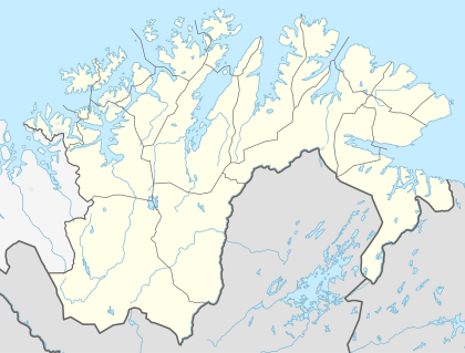 Seilandstuva Location in Finnmark | |
| Highest point | |
| Elevation | 1,078 m (3,537 ft) |
| Prominence | 1,078 m (3,537 ft) |
| Isolation | 45.4 kilometres (28.2 mi) |
| Coordinates | 70°26′47″N 23°05′53″E / 70.44639°N 23.09806°ECoordinates: 70°26′47″N 23°05′53″E / 70.44639°N 23.09806°E |
| Geography | |
| Location | Finnmark, Norway |
| Topo map | 1835 I Seiland |
Seilandstuva is the highest mountain on the island of Seiland in Finnmark county, Norway. The 1,078-metre (3,537 ft) tall mountain lies on the border of Alta Municipality and Hammerfest Municipality, and inside Seiland National Park.[1]
Name
The last element is the finite form of tuve which means "tuft of grass" or "tussock".
References
- ↑ Store norske leksikon. "Seiland" (in Norwegian). Retrieved 2013-01-15.
This article is issued from Wikipedia - version of the 5/29/2015. The text is available under the Creative Commons Attribution/Share Alike but additional terms may apply for the media files.