Sefton, Merseyside
| Sefton | |
| — Village — | |
 Sefton Parish Church, dedicated to St Helen |
|
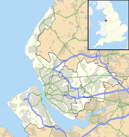 Sefton |
|
| Population | 855 (2011 Census) |
|---|---|
| OS grid reference | SD356012 |
| Civil parish | Sefton |
| Metropolitan borough | Sefton |
| Metropolitan county | Merseyside |
| Region | North West |
| Country | England |
| Sovereign state | United Kingdom |
| Post town | LIVERPOOL |
| Postcode district | L29 |
| Dialling code | 0151 |
| Police | Merseyside |
| Fire | Merseyside |
| Ambulance | North West |
| EU Parliament | North West England |
| UK Parliament | Sefton Central |
|
|
Coordinates: 53°30′15″N 2°58′17″W / 53.50403°N 2.97143°W
Sefton is a village and civil parish in the Metropolitan Borough of Sefton in Merseyside, England. Located to the south west of Maghull and to the north east of Great Crosby, it is on the flood plain of the River Alt. The village is bisected by the B5422, Brickwall Lane, which cuts also through the site of the moat of Sefton Old Hall, a recognised National Monument. At the 2001 Census the population was recorded as 772,[1] increasing to 855 at the 2011 Census.[2]
Historically a part of Lancashire, the name Sefton is thought to be derived from the Old Norse sef, meaning "sedge" or "rushes" and tún meaning "farmstead".[3] In the past Sephton was an alternative spelling.[4]
The Parish Church of St Helen (Church of England) - the only Grade I listed building in the Borough - was first built around 1170 as the private chapel of the Molyneux family.[5]
This village is home to Sefton Parish Church, Saint Helen's Well, a pre-Reformation shrine, a plague pot, the Grade II listed 'Punch Bowl Inn' and the site of Sefton Mill dating back to the Middle Ages. Local folklore has it that Sefton Hall, a loyalist stronghold, was the scene of a skirmish in the English Civil War. The Georgian Rectory to nearby Sefton Parish Church was demolished in the 1970s, however the gate piers still stand at the entrance to Glebe End. The curate's house, Lunt House, was situated in the nearby hamlet of Lunt.
Governance
From 1997 until 2010 the village and civil parish of Sefton was part of the Knowsley North and Sefton East constituency represented by George Howarth, a Labour Party MP. As a result of boundary revisions for the 2010 general election the village now forms part of the new Sefton Central constituency which is represented by the Labour MP Bill Esterson.
For elections to Sefton Council the village and civil parish of Sefton is within the Park electoral ward and is represented by three councillors. [6]
See also
References
- ↑ 2001 Census: Sefton (civil parish), Office for National Statistics, retrieved 17 February 2009
- ↑ "Parish population 2011". Retrieved 3 June 2015.
- ↑ "Vikings In Lancashire", Stephen Harding, 4 March 2004, retrieved 16 November 2007
- ↑ Sefton, Lancashire, Gazetteer of the British Isles / A Vision of Britain Through Time, retrieved 21 October 2005
- ↑ Sefton St Helen's Church, merseyworld.com, retrieved 16 November 2007
- ↑ "Your Councillors by Ward". Sefton Council. Retrieved 2010-10-15.
External links
| Wikimedia Commons has media related to Sefton Village, Merseyside. |