Schist Lake, Manitoba
| Schist Lake | |
|---|---|
| Manistikwan, Devil's Head Lake | |
| Location | Manitoba, Canada |
| Coordinates | 54°39′N 101°47.5′W / 54.650°N 101.7917°WCoordinates: 54°39′N 101°47.5′W / 54.650°N 101.7917°W |
| Type | Glacial |
| Primary inflows | Big Island Creek, Ross Creek |
| Primary outflows | Schist Creek |
| Basin countries | Canada |
| Surface area | 22.6 km2 (8.7 sq mi) |
| Max. depth | 30 m (98 ft) |
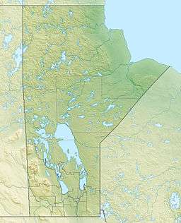
Location of Schist Lake in Manitoba
Schist Lake is located approximately 3 km southeast of Flin Flon. The lake has a maximun depth of 30m. It is composed of four main channels, the West Arm, Northwest Arm, Inlet Arm and Northeast Arm. It drains into Lake Athapapuskow via Schist Creek and is part of the Nelson River watershed.[1] The Flin Flon/Channing Water Aerodrome is located on the north end of the Northwest Arm.
The name comes from the predominant type of metamorphic rock which surrounds the lake, part of the Canadian Shield. It was originally called Manistikiwan which is Cree for "Devil's Head Lake" This name was later applied to nearby Big Island Lake, Manitoba.[2]
See also
References
- ↑ Franzin, W.G. (1976). Bathymetry and Morphometry of Schist Lake (PDF). Fisheries and Marine Services.
- ↑ Geographical Names of Manitoba. Winnipeg: Manitoba Conservation,. 2001. ISBN 0771115172.
External links
This article is issued from Wikipedia - version of the 11/15/2016. The text is available under the Creative Commons Attribution/Share Alike but additional terms may apply for the media files.