Sattahip Bay
| Sattahip Bay อ่าวสัตหีบ | |
|---|---|
|
A crew member of the Royal Thai Navy Ship HTMS Similan (187) renders a bugle salute to the guided missile frigate USS Jarrett (FFG-33) in Sattahip Bay. | |
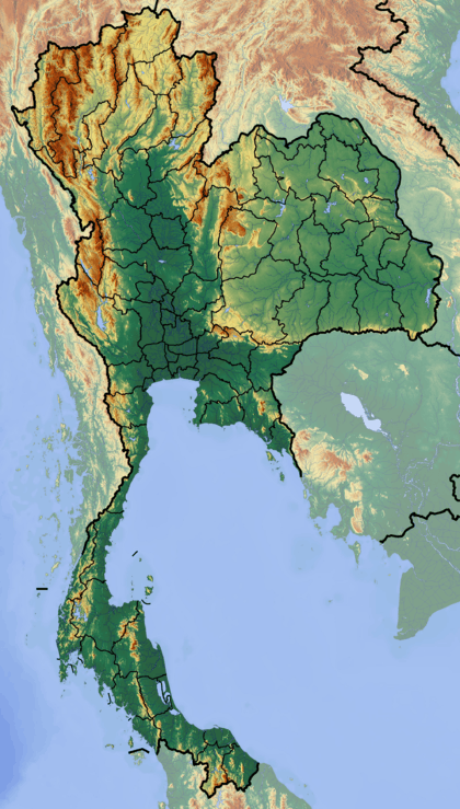 Sattahip Bay อ่าวสัตหีบ Location off the coast of Thailand | |
| Coordinates | 12°38′45″N 100°54′30″E / 12.64583°N 100.90833°ECoordinates: 12°38′45″N 100°54′30″E / 12.64583°N 100.90833°E |
| Type | Marine bay |
| Primary outflows | Gulf of Siam |
| Basin countries | Thailand |
_renders_a_bugle_salute_to_the_guided_missile_frigate_USS_Jarrett_(FFG_33).jpg)
Sattahip Bay (Thai: อ่าวสัตหีบ) is a bay in the eastern side of the Gulf of Siam or Gulf of Thailand.[1] It is located in Sattahip District, Chonburi Province, Thailand.
History
Prince Abhakara Kiartivongse (1880 – 1923), son of King Chulalongkorn, inspected Sattahip Bay in 1922 and saw that it was an ideal place to establish a Naval base. Subsequently he offered Royal land in Sattahip in order to build the present-day naval facilities and the Royal Thai Naval Academy; the latter would later be established closer to Bangkok though and is now located in Samut Prakan.[2]
Nowadays the Bay is part of the Sattahip Naval Base area, the largest base of the Royal Thai Navy. Occasionally Sattahip Bay has been invaded by jellyfish.[3] Much to their chagrin, the Thai Navy is often referred to as the Jellyfish Patrol.
Geography
Sattahip Bay lies at the southern end of Chonburi Province. It is open towards the southwest and is bound by limestone rock formations forming peninsulas to the west over Laem Chalak and to the southeast at Khao Chong Khaep.[4]
Islands
There are several islands in the bay area, the largest being Ko Tao Mo, located towards the western end of the mouth of the bay. Smaller Ko I Lao is the island located further off the shore.[5][4]
| Name | Thai Name | Location | Coordinates |
|---|---|---|---|
| Ko Tao Mo | เกาะเตาหม้อ | Sattahip Bay group | 12°38′17″N 100°52′13″E / 12.63806°N 100.87028°E |
| Ko Phra | เกาะพระ | Sattahip Bay group | 12°38′37″N 100°53′17″E / 12.64361°N 100.88806°E |
| Ko Phra Noi | เกาะพระน้อย | Sattahip Bay group | 12°38′46″N 100°53′15″E / 12.64611°N 100.88750°E |
| Ko I Lao | เกาะอีเลา | Sattahip Bay group | 12°36′42″N 100°52′32″E / 12.61167°N 100.87556°E |
| Ko Yo | เกาะยอ | Sattahip Bay group | 12°36′59″N 100°52′52″E / 12.61639°N 100.88111°E |
| Ko Mu | เกาะหมู | Sattahip Bay group | 12°37′26″N 100°54′3″E / 12.62389°N 100.90083°E |
| Ko Maeo | เกาะแมว | Sattahip Bay group | 12°36′40″N 100°53′21″E / 12.61111°N 100.88917°E |
| Ko Nang Ram | เกาะนางรำ | Sattahip Bay group | 12°36′59″N 100°56′3″E / 12.61639°N 100.93417°E |
| Ko Chorakhe | เกาะจระเข้ | Sattahip Bay group | 12°36′12″N 100°55′0″E / 12.60333°N 100.91667°E |
See also
References
- ↑ GoogleEarth
- ↑ Special report: Abhakara Day
- ↑ Hordes of jellyfish invade Sattahip Bay
- 1 2 Ko Phra Noi - Mapcarta
- ↑ Hydrographic Service of the Royal Thai Navy, Chart 001
External links
 Media related to Sattahip Bay at Wikimedia Commons
- Sattahip Bay view