Santa Teresita Airport
For the airport in Bolivia, see Santa Teresita Airport (Bolivia).
| Santa Teresita Airport | |||||||||||
|---|---|---|---|---|---|---|---|---|---|---|---|
| IATA: SST – ICAO: SAZL | |||||||||||
| Summary | |||||||||||
| Location | Ruta Interbalnearia 11, Km. 325, Santa Teresita | ||||||||||
| Elevation AMSL | 10 ft / 3 m | ||||||||||
| Coordinates | 36°32′32″S 56°43′18″W / 36.54222°S 56.72167°WCoordinates: 36°32′32″S 56°43′18″W / 36.54222°S 56.72167°W | ||||||||||
| Map | |||||||||||
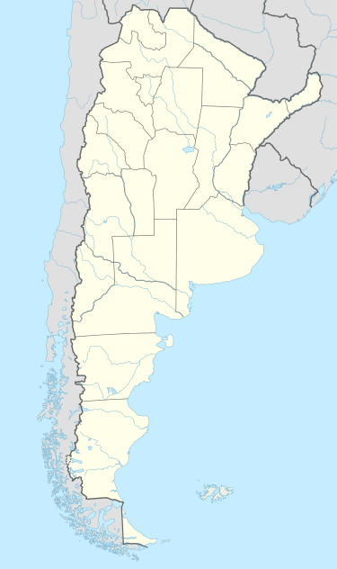 SST Location of the airport in Argentina | |||||||||||
| Runways | |||||||||||
| |||||||||||
Santa Teresita Airport (IATA: SST, ICAO: SAZL) is an airport serving Santa Teresita, Buenos Aires, Argentina. The airport covers an area of 306 hectares (760 acres; 1.18 sq mi), and has a 250-square-metre (2,700 sq ft) terminal.[1] It is located 8 kilometres (5.0 mi) away from the city.[1]
See also
 Argentina portal
 Aviation portal
- List of airports in Argentina
References
- 1 2 3 "Santa Teresita Airport Fact Sheet". Organismo Regulador del Sistema Nacional de Aeropuertos (ORSNA) (in Spanish). Retrieved 14 February 2012.
- ↑ Airport information for SAZL at World Aero Data. Data current as of October 2006.
This article is issued from Wikipedia - version of the 12/4/2016. The text is available under the Creative Commons Attribution/Share Alike but additional terms may apply for the media files.