Santa Teresa Airport
| Santa Teresa Airport | |||||||||||
|---|---|---|---|---|---|---|---|---|---|---|---|
| IATA: none – ICAO: SGST | |||||||||||
| Summary | |||||||||||
| Airport type | Public | ||||||||||
| Serves | Santa Teresa | ||||||||||
| Elevation AMSL | 582 ft / 177 m | ||||||||||
| Coordinates | 22°37′25″S 56°38′05″W / 22.62361°S 56.63472°WCoordinates: 22°37′25″S 56°38′05″W / 22.62361°S 56.63472°W | ||||||||||
| Map | |||||||||||
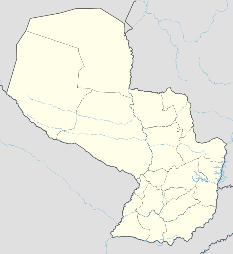 SGST Location of the airport in Paraguay | |||||||||||
| Runways | |||||||||||
| |||||||||||
Santa Teresa Airport (ICAO: SGST) is an airport serving the village of Santa Teresa in Amambay Department, Paraguay.
See also
 Paraguay portal
 Aviation portal
- List of airports in Paraguay
- Transport in Paraguay
References
- ↑ Airport information for SGST at Great Circle Mapper.
- ↑ Google Maps - Santa Teresa
External links
This article is issued from Wikipedia - version of the 12/5/2016. The text is available under the Creative Commons Attribution/Share Alike but additional terms may apply for the media files.