Sant'Elena
For the Italian town with the same name, see Sant'Elena (PD).
|
The Church of Sant'Elena | |
 Sant'Elena | |
| Geography | |
|---|---|
| Coordinates | 45°25′38″N 12°21′54″E / 45.427222°N 12.365°ECoordinates: 45°25′38″N 12°21′54″E / 45.427222°N 12.365°E |
| Adjacent bodies of water | Venetian Lagoon |
| Administration | |
| Region | Veneto |
| Province | Province of Venice |
_Facade.jpg)
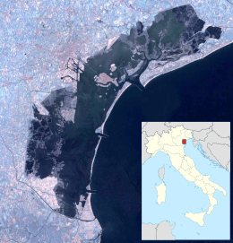
Sant'Elena is an island of Venice. It lies at the eastern tip of the main island group and forms part of sestiere of Castello. The original island was separated by an arm of the Venetian Lagoon from Venice itself, and was centred on the Church of Sant'Elena and its monastery, originally built in the twelfth century and rebuilt in the 15th.
The island has since been expanded to fill in the gap and is linked by Venice by three bridges. It includes the Rimembranze Park, a naval college and a football stadium, Stadio Pierluigi Penzo, in addition to residential areas and Venice Bienniale buildings.
The belltower has a ring of 6 bells in B rung with the Veronese bellringing art.
Gallery
 Sant'Elena from Lido
_Apse_and_tower.jpg) Apse and tower from a vaporetto
Apse and tower from a vaporetto.jpg) Rio Sant'Elena and bridge
Rio Sant'Elena and bridge Rio Sant'Elena
 Stadio Pierluigi Penzo
External links
This article is issued from Wikipedia - version of the 12/1/2016. The text is available under the Creative Commons Attribution/Share Alike but additional terms may apply for the media files.