Sandal Magna

Coordinates: 53°39′29″N 1°29′10″W / 53.658000°N 1.486000°W
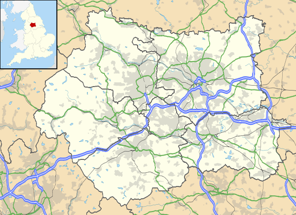
Sandal Magna or Sandal is a suburb of Wakefield, West Yorkshire, England with a population in 2001 of 5,432.[1] It is an ancient settlement and is the site of Sandal Castle and a parish church that predates the Domesday Book. It is two miles (3 km) south from Wakefield, eight miles (13 km) north of Barnsley, nine west from Pontefract and thirty from York.[2] The Battle of Wakefield was fought here in the 15th century during the Wars of the Roses.[3]
History
Toponymy
The name Sandal derives from the Early Scandinavian sandr meaning sand or gravel and healh, a meadow.[4]
Early History
In the Domesday Book of 1086 Sandal is recorded as a berewic (a village where barley was grown) in Wachefeld (Wakefield) where there was a church with a priest. The church was on the site of the present church of St Helen.[5]
William de Warenne, 2nd Earl of Surrey (1081–1138) was granted the Sandal estates in 1107 and began the building of Sandal Castle which became the baronial seat of the lords of the manor of Wakefield.[6][7]
In 1460, during the Wars of the Roses, the Duke of York was killed on 30 December in the Battle of Wakefield between Sandal Castle and St Helens Church.
There are records of mining for coal and quarrying for stone in the 14th century.[8]
The highwayman, John Nevison was arrested on 6 March 1684 at the Three Houses Inn and tried for the murder of Darcy Fletcher, a constable who had tried to arrest him near Howley Hall at Soothill in Batley.[9]
Geography
Sandal, situated on the south side of the River Calder on the road from Wakefield to Barnsley, covers 1,700 acres (688 ha).[10] It is 2 miles (3.2 km) from Wakefield, 8 miles (13 km) from Barnsley, 9 miles (14 km) from Pontefract and 30 miles (48 km) from York. The main road through Sandal is the A61 Wakefield to Barnsley road.
Location grid
 |
Ossett | Wakefield | Normanton | |
| Horbury | |
Crofton | ||
| ||||
| | ||||
| West Bretton | Barnsley | Ryhill |

Governance
Sandal was anciently a parish town in the Agbrigg Division of the wapentake of Agbrigg and Morley in the liberty of Wakefield, West Riding of Yorkshire.[2] Following the Poor Law Amendment Act of 1834, Sandal Magna became one of the 17 constituent parishes of the Wakefield Poor Law Union formed in 1837.[11]
Religion
Sandal Magna's church is dedicated to St. Helen, the mother of Constantine the Great. At the time of the Norman Conquest Sandal Church was a possession of the crown. The Saxon church was recorded as one of two churches in the Wakefield manor in the Domesday Book of 1086. In about 1150 the first church was replaced by a second church in the shape of a Latin cross by Earl Warenne of Sandal Castle. It was enlarged in about 1180 and almost completely rebuilt in the first half of the 14th century. The church was altered and extended after 1505 and the present church extensively restored and enlarged in 1872.[12]
Amenities
Although largely a residential area, local amenities include a library,[13] schools,[14] churches[15][16] and an Asda supermarket.[17]
References
Notes
- ↑ Sandal Neighbourhood Profile (PDF), Wakefield MDC, retrieved 2010-03-12
- 1 2 The ancient parish of Sandal Magna, Genuki, retrieved 2010-03-10
- ↑ The Battle of Wakefield 1460, www.wars-of-the-roses.com, retrieved 2009-05-07
- ↑ Walker 1966, p. 39
- ↑ Walker 1966, p. 42
- ↑ Butler 1966, p. 19
- ↑ Sandal Castle, www.richard111.com, retrieved 2009-05-07
- ↑ Walker 1966, p. 105
- ↑ Wales, Tim, "Nevison [Nevinson], John [William] (d. 1684), highwayman", Oxford Dictionary of National Biography, Oxford University Press, retrieved 12 April 2013
- ↑ Lewis, Samuel (1848), "Sandall, Great (St. Helen)", A Topographical Dictionary of England, British History Online, pp. 580–583, retrieved 2010-05-01
- ↑ Wakefield Workhouses, workhouses.org.uk, retrieved 2010-06-27
- ↑ Church History, Sandal Magna Church, retrieved 2010-03-12
- ↑ Sandal Library, www.wakefield.gov.uk, retrieved 2009-06-17
- ↑ "Wakefield Sandal Magna Junior And Infants School Wakefield: Read Parent Reviews & Rankings". www.schoolsnet.com. Retrieved 2009-06-17.
- ↑ "Welcome: We warmly welcome you to the website of The Parish of Sandal Magna.". www.sandalmagna.com. Retrieved 2009-06-17.
- ↑ "Sandal Methodist Church Wakefield". myweb.tiscali.co.uk. Retrieved 2009-06-17.
- ↑ "ASDA Store Locator". www.multimap.com. Retrieved 2009-06-17.
Bibliography
- Butler, Lawrence (1991), Sandal Castle, Wakefield, Wakefield Historical Publications, ISBN 0901869317
- Walker, J.W. (1966), Wakefield its History and People Vol.1&2 3rd Edn, S.R. Publishers