San Tomé Airport
Not to be confused with Sao Tome Airport.
| San Tomé Airport Aeropuerto Don Edmundo Barrios | |||||||||||
|---|---|---|---|---|---|---|---|---|---|---|---|
|
| |||||||||||
| IATA: SOM – ICAO: SVST | |||||||||||
| Summary | |||||||||||
| Airport type | Public | ||||||||||
| Serves | El Tigre, Venezuela | ||||||||||
| Location | San Tomé | ||||||||||
| Elevation AMSL | 837 ft / 255 m | ||||||||||
| Coordinates | 08°56′43″N 064°09′04″W / 8.94528°N 64.15111°WCoordinates: 08°56′43″N 064°09′04″W / 8.94528°N 64.15111°W | ||||||||||
| Map | |||||||||||
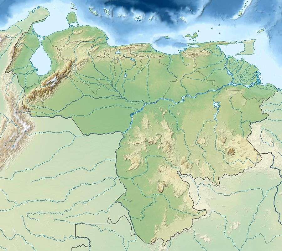
 SVST Location of airport in Venezuela | |||||||||||
| Runways | |||||||||||
| |||||||||||
San Tomé Airport[1] or El Tigre Airport[3][4] (IATA: SOM[3], ICAO: SVST) is an airport in San Tomé,[1] in the state of Anzoátegui in Venezuela. Also known as Don Edmundo Barrios Airport (Spanish: Aeropuerto Don Edmundo Barrios), it serves the cities of El Tigre and San José de Guanipa, located 15 kilometres (9 mi) from San Tomé.
Facilities
The airport resides at an elevation of 837 feet (255 m) above mean sea level. It has one runway designated 08/26 with an asphalt surface measuring 1,920 by 45 metres (6,299 ft × 148 ft). A former runway that is now closed was designated 18/36 and had an asphalt surface measuring 544 by 27 metres (1,785 ft × 89 ft).[1]
Airlines and destinations
| Airlines | Destinations |
|---|---|
| Avior Airlines | Caracas |
References
- 1 2 3 4 Airport information for SVST from DAFIF (effective October 2006)
- ↑ Airport information for SOM at Great Circle Mapper. Source: DAFIF (effective October 2006).
- 1 2 "IATA Airport Code Search (SOM – City: San Tome, Airport: El Tigre)". International Air Transport Association. Retrieved June 6, 2013.
- ↑ Accident history for San Tome-El Tigre Airport, Venezuela (IATA: SOM, ICAO: SVST) at Aviation Safety Network
External links
- Aeronautical chart for SVST at SkyVector
See also
- El Tigre Airport (IATA: ELX)
This article is issued from Wikipedia - version of the 12/4/2016. The text is available under the Creative Commons Attribution/Share Alike but additional terms may apply for the media files.