San Francisco Pass
| Paso de San Francisco | |
|---|---|
 | |
| Elevation | 4,726 m (15,505 ft) |
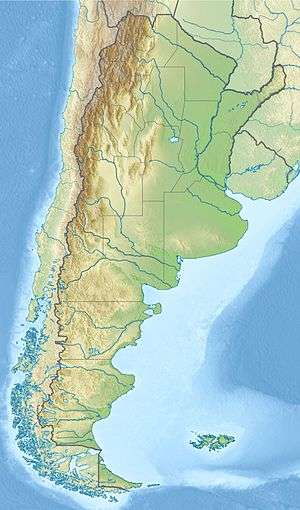
| Location | Argentina–Chile border |
| Range | Andes |
| Coordinates | 26°52′35″S 68°18′05″W / 26.876389°S 68.301389°WCoordinates: 26°52′35″S 68°18′05″W / 26.876389°S 68.301389°W |
 | |
The San Francisco Pass is a pass over the Andes mountains which connects Argentina and Chile. The highest point of this pass is at 4,726 m (15,505 ft) AMSL.[1]
Location
The pass is located at 26°52′35″S 68°18′05″W / 26.87639°S 68.30139°W and connects the Argentinian province of Catamarca with the Atacama Region in Chile. In the Argentinian side, route N 60 ascends from Fiambala at 1,505 m (4,938 ft) AMSL in a deep valley formed by 5,000-metre (16,000 ft) mountains. In the last sinuous 20 km (12 mi), the route climbs from about 4,000 m (13,000 ft) in Las grutas to more than 4,700 m (15,400 ft) at the border.
On the Chilean side the route CH-31 connects Copiapó with the Chile-Argentinian border. On the way it passes next to Maricunga's salt flat on the Nevado Tres Cruces National Park and Laguna Verde. The area is surrounded by volcanoes and high peaks as the Cerro Falso Azufre (5,906 m or 19,377 ft), the volcano San Francisco[2] (6,018 m or 19,744 ft), the Incahuasi (6,638 m or 21,778 ft) and highest volcano in the world, Nevado Ojos del Salado (6,879 m or 22,569 ft), among others.
Gallery


See also
References
- ↑ "PASO INTERNACIONAL "SAN FRANCISCO"". gendarmeria.gob.ar. Gendarmeria Nacional Argentina. Retrieved 26 February 2015.
- ↑ "Explore San Francisco". New York Times. Retrieved 10 August 2015.