Samrala
| Samrala | |
|---|---|
| city | |
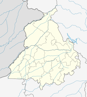 Samrala Location in Punjab, India | |
| Coordinates: 30°50′N 76°11′E / 30.84°N 76.19°ECoordinates: 30°50′N 76°11′E / 30.84°N 76.19°E | |
| Country |
|
| State | Punjab |
| District | Ludhiana |
| Elevation | 249 m (817 ft) |
| Population (2001) | |
| • Total | 17,610 |
| Languages | |
| • Official | Punjabi |
| Time zone | IST (UTC+5:30) |
| Telephone code |
01628 postal_code = 141114 vehicle_code_range = |
Samrala is a city and a municipal council in Ludhiana district in the Indian state of Punjab. It is about 35 km east of the district headquarters Ludhiana, on the highway to Chandigarh. Samrala is a Class III Municipality. It is also known for it oldest tehsil situated in this city as compared to other cities near it. It is also believed that the name Samrala came from the name of two brothers Sama and Rala.
Geography
Samrala is located at 30°50′N 76°11′E / 30.84°N 76.19°E.[1] It has an average elevation of 249 metres (816 feet).
Demographics
As of 2011 India census,[2] Samrala had a population of 17,610. Males constitute 53% of the population and females 47%. Samrala has an average literacy rate of 72%, higher than the national average of 59.5%: male literacy is 76%, and female literacy is 68%. In Samrala, 12% of the population is under 6 years of age. The town has a mixed Hindu-Sikh population.
References
- ↑ Falling Rain Genomics, Inc - Samrala
- ↑ "Census of India 2001: Data from the 2001 Census, including cities, villages and towns (Provisional)". Census Commission of India. Archived from the original on 2004-06-16. Retrieved 2008-11-01.