Ryedale
Coordinates: 54°08′20″N 0°47′24″W / 54.139°N 0.79°W
| Ryedale | |
|---|---|
| Non-metropolitan district | |
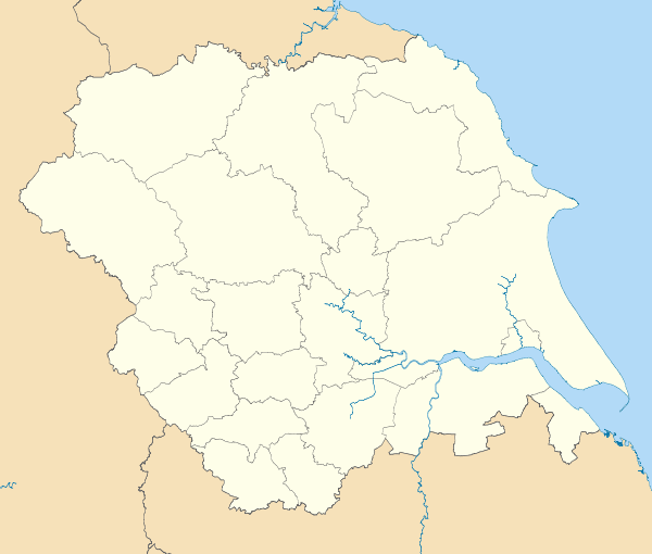
 Ryedale shown within North Yorkshire | |
| Sovereign state |
|
| Constituent country |
|
| Region | Yorkshire and the Humber |
| Ceremonial county |
|
| Administrative HQ | Malton (Ryedale House) |
| Government | |
| • Type | Ryedale District Council |
| • Leadership | Alternative |
| • Executive | Conservative |
| • MP: | Kevin Hollinrake |
| Area | |
| • Total | 1,507 km2 (582 sq mi) |
| Area rank | 11th |
| Population (mid-2014 est.) | |
| • Total | 52,655 |
| • Rank | Ranked 318th |
| • Density | 35/km2 (90/sq mi) |
| Time zone | Greenwich Mean Time (UTC+0) |
| • Summer (DST) | British Summer Time (UTC+1) |
| ONS code |
36UF (ONS) E07000167 (GSS) |
| Ethnicity | 99.4% White |
| Website | ryedale.gov.uk |
Ryedale is a non-metropolitan district of the shire county of North Yorkshire in England. Settlements include Helmsley, Kirkbymoorside, Malton, Norton-on-Derwent, and Pickering. Part of Ryedale lies within the North York Moors National Park.
Derivation of name
The name refers to the River Rye and was previously used for the Ryedale wapentake of Yorkshire, that covered roughly the same area. The current district was formed on 1 April 1974, under the Local Government Act 1972, and was a merger of urban district of Norton and Norton Rural District, from the historic East Riding of Yorkshire, along with the urban districts of Malton and Pickering with Flaxton Rural District, Helmsley Rural District, Kirkbymoorside Rural District, Malton Rural District and Pickering Rural District, all from the North Riding of Yorkshire.
York Unitary Authority
The district lost about half its population in 1996, when an expanded City of York became a unitary authority, specifically the parishes of Clifton Without, Earswick, Haxby, Heworth Without, Holtby, Huntington, Murton, New Earswick, Osbaldwick, Rawcliffe, Skelton, Stockton-on-the-Forest, Strensall, Towthorpe, and Wigginton.[1][2] According to the 2001 census these parishes combined had a population of 50,163, compared to the population of the rump Ryedale district of 50,872.
Notable residents
- Georgia Horsley, Miss England 2007
- One Night Only, Indie-pop band
- Richard Buck, UK athlete
Demographics
For all districts in the Yorkshire and the Humber region, Ryedale has the lowest rate of teenage pregnancy.
References
- ↑ http://www.parliament.the-stationery-office.co.uk/pa/cm199495/cmhansrd/1995-02-28/Debate-13.html www.parliament.the-stationery-office.co.uk
- ↑ http://www.opsi.gov.uk/si/si1995/Uksi_19950610_en_2.htm#end opsi.gov.uk
External links
| Wikimedia Commons has media related to Ryedale District. |
- Ryedale - Home of Kirkbymoorside Town Brass Band
- Ryedale.co.uk Promoting Ryedale
- Ryedale District Council YouTube channel
- Visit Ryedale - Official Tourist Information for Ryedale, North Yorkshire