Rurrenabaque Airport
| Rurrenabaque Airport | |||||||||||||||
|---|---|---|---|---|---|---|---|---|---|---|---|---|---|---|---|
 | |||||||||||||||
| IATA: RBQ – ICAO: SLRQ | |||||||||||||||
| Summary | |||||||||||||||
| Airport type | Public | ||||||||||||||
| Location | Rurrenabaque, Bolivia | ||||||||||||||
| Elevation AMSL | 898 ft / 274 m | ||||||||||||||
| Coordinates | 14°25′39″S 067°29′53″W / 14.42750°S 67.49806°WCoordinates: 14°25′39″S 067°29′53″W / 14.42750°S 67.49806°W | ||||||||||||||
| Map | |||||||||||||||
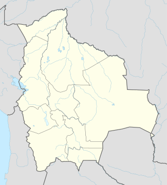 RBQ Location of airport in Bolivia | |||||||||||||||
| Runways | |||||||||||||||
| |||||||||||||||
Rurrenabaque Airport (IATA: RBQ, ICAO: SLRQ) is an airport in Rurrenabaque, Bolivia. The longest runway (18/36) was asphalted in 2010. Before, because of the grass runways, no flights could land or takeoff on a rainy day, and delays were usual on the rainy season (December - April).
Airlines and destinations
| Airlines | Destinations |
|---|---|
| Amaszonas | La Paz, Trinidad |
| TAM - Transporte Aéreo Militar | La Paz |
External links
- Airport information for SLRQ at World Aero Data. Data current as of October 2006.
This article is issued from Wikipedia - version of the 11/27/2016. The text is available under the Creative Commons Attribution/Share Alike but additional terms may apply for the media files.