Rufino, Santa Fe
| Rufino | |
|---|---|
| City | |
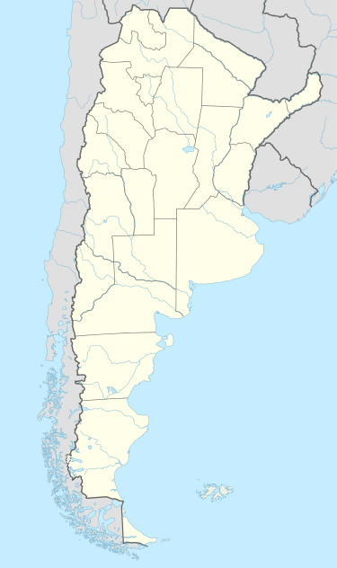 Rufino Location of Rufino in Argentina | |
| Coordinates: 34°16′S 62°42′W / 34.267°S 62.700°WCoordinates: 34°16′S 62°42′W / 34.267°S 62.700°W | |
| Country | Argentina |
| Province | Santa Fe |
| Department | General López |
| Area | |
| • Total | 1,021 km2 (394 sq mi) |
| Population | |
| • Total | 18,372 |
| • Density | 18/km2 (47/sq mi) |
| Time zone | ART (UTC-3) |
| CPA base | S6100 |
| Dialing code | +54 3382 |
Rufino is a city in the province of Santa Fe, Argentina. It has 18,372 inhabitants as per the 2001 census [INDEC]. It lies on the southwest of the province, 260 km (162 mi) from the main metropolitan area of the province Greater Rosario,416 km (258 mi) from the provincial capital Santa Fe, near the borders with Córdoba (west) and Buenos Aires (south), on the intersection of National Routes 33 and 7.
The town was founded by Gerónimo Segundo Rufino in 1886, as the railway line that linked Diego de Alvear, Santa Fe, to Villa Mercedes, San Luis, was inaugurated. The plans for the new town were approved by the governorship of Santa Fe on 29 March 1889, which is acknowledged as the official foundation date.
Notable people born in Rufino
- Guillermo Coria, tennis player
- Miguel Rolando Covian, biomedical scientist
- Amadeo Carrizo, soccer player
- Ernesto Mastrángelo, soccer player
- Jorge Rajadell, Artist
- Bernabé Ferreyra, soccer player
- Carlos Bulgheroni, businessman in Argentina's energy sector
- Federico Sturzenegger, chairman of
References
- Municipality of Rufino — Official website.
- Municipal information: Municipal Affairs Federal Institute (IFAM), Municipal Affairs Secretariat, Ministry of Interior, Argentina. (Spanish)
- "Rufino, Santa Fe". Santa Fe provincial government.
This article is issued from Wikipedia - version of the 10/27/2016. The text is available under the Creative Commons Attribution/Share Alike but additional terms may apply for the media files.