Royston, British Columbia
| Royston | |
|---|---|
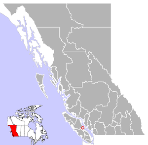
 Royston Location of Royston in British Columbia | |
| Coordinates: 49°38′45.2″N 124°56′46.9″W / 49.645889°N 124.946361°WCoordinates: 49°38′45.2″N 124°56′46.9″W / 49.645889°N 124.946361°W | |
| Country |
|
| Province |
|
| Regional District | Comox Valley |
| Founded | 1890 |
| Area | |
| • Total | 4.57 km2 (1.76 sq mi) |
| Population (2011) | |
| • Total | 1,562 |
| • Density | 340/km2 (890/sq mi) |
| Postal code | V0R 2V0 |
| Area code(s) | +250, +778 |
Royston is a small seaside hamlet which is part of the greater Comox Valley region, 100 km northwest of Nanaimo on Vancouver Island, in British Columbia, Canada. It is situated next to the Trent River, across the harbour from Comox and just southeast of the municipal boundary of Courtenay. Royston is home to just over 1200 people.
History
In the early 1900s, Royston was, and continues to be, the major port for the Comox Valley logging industry. Logs were shipped here by rail, boomed in the harbour, then towed across to the B.C. Mainland to be made into lumber. This port was used for transportation of coal mined in Cumberland.
William Roy and his family settled here in 1890, collaborating with a real estate promoter named Frederick Warren to lay out a townsite that they named Royston. The settlement could have been named as "Roy's Town" but could also have been named after Warren's home town of Royston in Hertfordshire - or both.