Rosendal, Norway
| Rosendal | |
|---|---|
| Village | |
|
Aerial view of the village | |
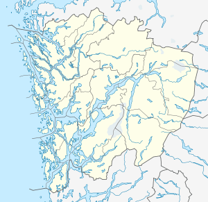 Rosendal  Rosendal Location in Hordaland county | |
| Coordinates: 59°59′09″N 06°00′41″E / 59.98583°N 6.01139°ECoordinates: 59°59′09″N 06°00′41″E / 59.98583°N 6.01139°E | |
| Country | Norway |
| Region | Western Norway |
| County | Hordaland |
| District | Sunnhordland |
| Municipality | Kvinnherad |
| Area[1] | |
| • Total | 1.14 km2 (0.44 sq mi) |
| Elevation[2] | 9 m (30 ft) |
| Population (2013)[1] | |
| • Total | 768 |
| • Density | 674/km2 (1,750/sq mi) |
| Time zone | CET (UTC+01:00) |
| • Summer (DST) | CEST (UTC+02:00) |
| Post Code | 5470 Rosendal |
| Website |
www |

Rosendal is the administrative centre of Kvinnherad municipality in Hordaland county, Norway. The village is located on the southern shore of the Hardangerfjorden, about 4 kilometres (2.5 mi) north of the village of Dimmelsvik and about 10 kilometres (6.2 mi) straight west of the vast Folgefonna glacier which sits inside the nearby Folgefonna National Park. The village is especially known for the Barony Rosendal, a historic estate located in the village. Kvinnherad Church is also located in this village.[3]
The 1.14-square-kilometre (280-acre) village has a population (2013) of 768, making it the third largest urban area in Kvinnherad. The village area has a population density of 674 inhabitants per square kilometre (1,750/sq mi).[1] The economy of the village is centered on agriculture, ship building, and tourism.[3] The shipbuilder Skaalurens Skibsbyggeri was established in Rosendal in 1855.
References
- 1 2 3 Statistisk sentralbyrå (1 January 2013). "Urban settlements. Population and area, by municipality.".
- ↑ "Rosendal, Kvinnherad (Hordaland)" (in Norwegian). yr.no. Retrieved 2015-03-18.
- 1 2 Store norske leksikon. "Rosendal – tettsted" (in Norwegian). Retrieved 2015-03-18.
External links
-
 Rosendal travel guide from Wikivoyage