Rocky Run Township, Hancock County, Illinois
| Rocky Run Township | |
|---|---|
| Township | |
 Location in Hancock County | |
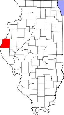 Hancock County's location in Illinois | |
| Coordinates: 40°14′43″N 91°26′18″W / 40.24528°N 91.43833°WCoordinates: 40°14′43″N 91°26′18″W / 40.24528°N 91.43833°W | |
| Country |
|
| State |
|
| County | Hancock |
| Established | November 6, 1849 |
| Area | |
| • Total | 39.87 sq mi (103.3 km2) |
| • Land | 36.68 sq mi (95.0 km2) |
| • Water | 3.19 sq mi (8.3 km2) 8.00% |
| Elevation | 479 ft (146 m) |
| Population (2010) | |
| • Total | 158 |
| • Density | 4.3/sq mi (1.7/km2) |
| Time zone | CST (UTC-6) |
| • Summer (DST) | CDT (UTC-5) |
| ZIP codes | 62373, 62379 |
| GNIS feature ID | 0429663 |
Rocky Run Township is one of twenty-five townships in Hancock County, Illinois, USA. As of the 2010 census, its population was 158 and it contained 60 housing units.[1] In November 2016, the township voted to merge with Wilcox Township due to low population.[2]
Geography
According to the 2010 census, the township has a total area of 39.87 square miles (103.3 km2), of which 36.68 square miles (95.0 km2) (or 92.00%) is land and 3.19 square miles (8.3 km2) (or 8.00%) is water.[1]
Cemeteries
The township contains these four cemeteries: Crenshaw, Fletcher, Mount Vernon Missionary Baptist and Oak Valley Missionary. Daugherty
Major highways
Airports and landing strips
- H Meeker Airport
- Meeker Airport
School districts
- Community Unit School District 4
- Warsaw Community Unit School District 316
Political districts
- Illinois's 17th congressional district
- State House District 94
- State Senate District 47
References
- United States Census Bureau 2008 TIGER/Line Shapefiles
- "Rocky Run Township". Geographic Names Information System. United States Geological Survey. Retrieved 2009-09-20.
- United States National Atlas
- 1 2 "Population, Housing Units, Area, and Density: 2010 - County -- County Subdivision and Place -- 2010 Census Summary File 1". United States Census. Retrieved 2013-05-28.
- ↑ Niehaus, Michaele (November 9, 2016). "Election results in Hancock and Henderson counties in Illinois". The Hawk Eye. Retrieved November 26, 2016.
External links

Municipalities and communities of Hancock County, Illinois, United States | ||
|---|---|---|
| Cities | ||
| Town | ||
| Villages | ||
| Townships | ||
| Unincorporated communities | ||
| Footnotes | ‡This populated place also has portions in an adjacent county or counties | |
This article is issued from Wikipedia - version of the 11/28/2016. The text is available under the Creative Commons Attribution/Share Alike but additional terms may apply for the media files.