Robe Airport
| Robe Airport | |||||||||||
|---|---|---|---|---|---|---|---|---|---|---|---|
| IATA: GOB – ICAO: HAGB | |||||||||||
| Summary | |||||||||||
| Airport type | Public | ||||||||||
| Owner | Ethiopian Civil Aviation Authority | ||||||||||
| Operator | Ethiopian Airports Enterprise | ||||||||||
| Serves | Robe, Goba | ||||||||||
| Elevation AMSL | 7,892 ft / 2,405 m | ||||||||||
| Coordinates | 7°07′05″N 40°02′45″E / 7.11806°N 40.04583°ECoordinates: 7°07′05″N 40°02′45″E / 7.11806°N 40.04583°E | ||||||||||
| Map | |||||||||||
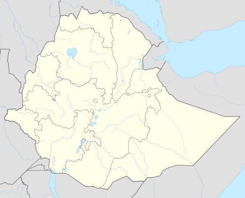 HAGB Location of the airport in Ethiopia | |||||||||||
| Runways | |||||||||||
| |||||||||||
|
Source: Google Maps[1] | |||||||||||
Robe Airport (IATA: GOB, ICAO: HAGB) is an airport in the town of Bale Robe, Ethiopia. It also serves the nearby town of Goba.
Scheduled services
| Airlines | Destinations |
|---|---|
| Ethiopian Airlines | Addis Ababa |
References
This article is issued from Wikipedia - version of the 12/4/2016. The text is available under the Creative Commons Attribution/Share Alike but additional terms may apply for the media files.