River Teviot
| River Teviot | |
|---|---|
|
View of the River Teviot | |
 River Teviot | |
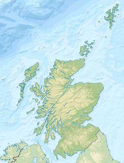
| OS grid reference | NT395045 |
| Coordinates | 55°19′52″N 2°57′18″W / 55.331°N 2.955°W |

The River Teviot (/ˈtiːvi.ət/ or local /ˈtiːvijɪʔ/), or Teviot Water, is a river of the Scottish Borders area of Scotland, and a tributary of the River Tweed.
It rises in the western foothills of Comb Hill on the border of Dumfries and Galloway. It flows north-eastwards through Teviotdale and past Teviothead, the Colterscleuch Monument, Broadhaugh, Branxholme and Branxholme Castle.
The Teviot passes through Hawick and Lanton, the Timpendean Tower and the town of Ancrum, Harestanes and Monteviot, Nisbet and Roxburgh, before joining the River Tweed to the southwest of Kelso.
The Borders Abbeys Way keeps close company with the Teviot on its journey to the Tweed.
Tributaries
The principal tributaries of the Teviot are the Allan Water which enters its right bank at Newmill, the Borthwick Water which enters its left bank between Branxholme and Hawick, the Slitrig Water which enters via the right bank in Hawick itself, the Ale Water entering via the left bank at Ancrum, the Jed Water on the right bank just downstream and the Kale Water which enters on the right bank between Crailing and Roxburgh.
See also
External links
- Gazetteer for Scotland: Map of the River Teviot
- RCAHMS record for the River Teviot
- Scottish Environment Protection Agency: River level data, Teviot at Hawick
- River Teviot, a Site of Special Scientific Interest
- SCRAN image: Children playing in the pools on the River Teviot
- GEOGRAPH image: River Teviot in Hawick