Rehbach (Palatinate)
| Rehbach | |
|---|---|
 Rehbach in Neustadt an der Weinstrasse: View to the east from the bridge of the Landwehrstraße | |
| Basin | |
| Main source |
Left distributary of the Speyerbach in Neustadt an der Weinstrasse 130 m (430 ft) 49°21′20″N 8°9′19″E / 49.35556°N 8.15528°E |
| River mouth |
Into the Rhine, between Altrincham and Ludwigshafen 49°26′47″N 8°26′41″E / 49.44639°N 8.44472°ECoordinates: 49°26′47″N 8°26′41″E / 49.44639°N 8.44472°E |
| Progression | Rhine → North Sea |
| River system | Rhine |
| Basin size | 149.894 km2 (57.874 sq mi) |
| Physical characteristics | |
| Length | 29.03 km (18.04 mi) |
| Features | |
| Tributaries |
|
| Cities | Ludwigshafen am Rhein, Neustadt an der Weinstrasse, Schifferstadt |
The Rehbach is a river in Rhineland-Palatinate. It is about 29 kilometres (18 mi) long and is a left tributary of the Rhine.
History

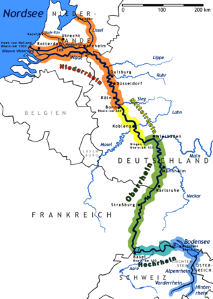
The Rehbach does not have a source. The Speyerbach splits on the Winzinger Wassergescheid in Neustadt an der Weinstrasse, with about 1/3 of the water going left and forming the 'Rehbach and the other 2/3 going right and continuing as Speyerbach. After leaving the district of Neustadt, Rehbach flows through the western part of the Upper Rhine Valley, initially in an easterly direction, later more northeast. It touches the municipalities of Haßloch, Böhl-Iggelheim, Schifferstadt, Limburgerhof and Neuhofen. Between Altrincham and Ludwigshafen, it flows into the Upper Rhine from the left.
Tributaries
The main tributaries of the left Rehbach are Mußbach, which flows into the Rehbach between Haßloch and the Mußbach district of Neustadt, and the Steinbach, which flows into the Rehbach above Schifferstadt. The strongest right tributary is the Ranschgraben. Like the Rehbach itself, this is a dsitributary of the Speyerbach. It splits off from Speyerbach just north of Speyerdorf and flows into Rehbach East of Limburgerhof-Rehhütte, after crossing below Rehbach a few hundred meters before at Limburgerhof-Kohlhof.
History
In the Middle Ages, the water of the Rehbach was already diverted from Speyerbach in the village of Winzingen, which is now a district of Neustadt. In the area of Haßloch and Böhl-Iggelheim, it was split into two parallel arms for about 8 kilometres (5 mi). They provided the water for the local drive watermills and sawmills. On the southern arm, the actual Rehbach, three mills have been preserved. Below Böhl-Iggelheim, the Steinbach flows into the Rehbach, as does the water from the Niederwiesenweiher, a 10-hectare (25-acre) re-naturalized gravel pit.
Since 1981, large parts of the Speyerbach and Rehbach between Neustadt and Speyer, that were not used for industrial purposes, form the nature conservations area Rehbach-Speyerbach[1]
Footnotes
Tributaries of the Rhine | ||
|---|---|---|
| Left (western) |
|  |
| Right (eastern) |
| |