Ranya
| Ranya ڕانیه | |
|---|---|
 | |
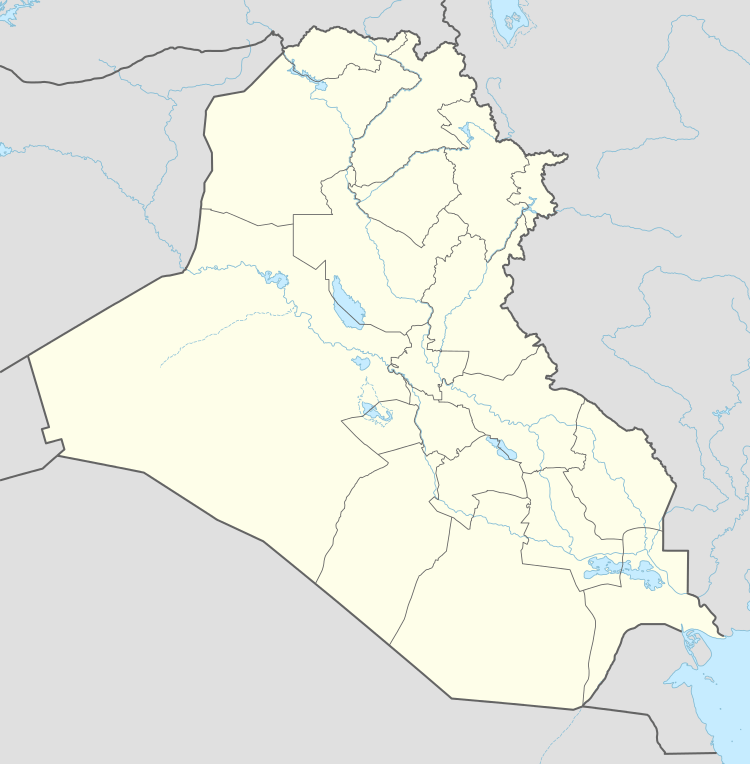 Ranya Location within Iraq | |
| Coordinates: 36°15′18″N 44°53′01″E / 36.25500°N 44.88361°ECoordinates: 36°15′18″N 44°53′01″E / 36.25500°N 44.88361°E | |
| Country |
|
| Autonomous region |
|
| Governorate | Sulaymaniyah |
| District | Ranya |
| Elevation | 2,895 ft (882 m) |
| Population (2011) | |
| • Total | 79,600 |
Ranya (Kurdish: Ranya, Arabic: رانية) is a town located in Iraqi Kurdistan, 130 kilometres (81 mi) northwest of Sulaymaniyah. The population of this city was involved in the revolutionary movement of Kurdish people from the war against the British Empire invasion during Şêx Mehmud's government, the Eylûl revolution, and the uprising which broke out in this city on 5 March 1991. Consequently, it acquired the name of 'the gate of uprising'. The city includes a number of tourist sites, notably the shore of the Derbend, the area around the Reşemêrg spring, the Kwerakani spring which runs from the Central mosque through Ranyae's main bazaar Girdedême hill and Bêtwate, the villages in the Dola Raqa valley. Ranya is surrounded by three mountain ranges, the Kewarash, the Hajila and the Asos. Lake Dukan, created by the construction of a hydro-electric dam, is near the town. Ranya neighbourhoods include Qelat, Reşemêrg, Gilîincan, Sera, Rizgarî, Raperîn, Andazyaran, Azadî 1, Azadî 2, Kêwereş, Qule،Mamostayan, Nawroz, and Fermanberan. The first known newspaper published in Ranya appeared in 1942 under the name of Blêse (flame). Population Ranya and its belonging sub-towns(Chwarqurna, Hajiawa, Betwata) population is nearly 400.000 people.
University of Raparin locates in the west of Ranya...
References
External links
| Wikimedia Commons has media related to Ranya. |