Rania, Haryana
| Rania रानिया | |
|---|---|
| city[Town] | |
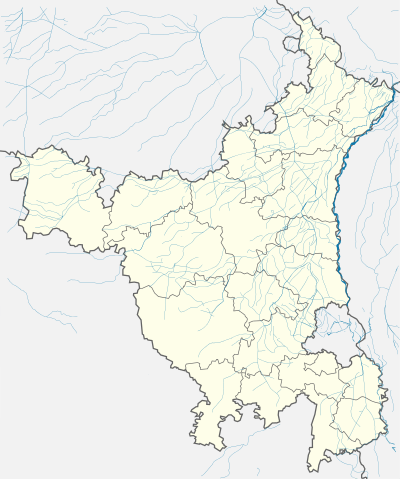 Rania  Rania Location in Haryana, India | |
| Coordinates: 29°32′N 74°50′E / 29.53°N 74.83°ECoordinates: 29°32′N 74°50′E / 29.53°N 74.83°E | |
| Country |
|
| State | Haryana |
| District | Sirsa |
| Government | |
| • MLA | Ram Chand Kamboj |
| Elevation | 190 m (620 ft) |
| Population (2001) | |
| • Total | 20,958 |
| Languages | |
| • Official | Hindi, Punjabi, Bagri |
| Time zone | IST (UTC+5:30) |
| PIN | 125076 |
| Telephone code | 01698 |
| Vehicle registration | HR-44 |
| Lok Sabha constituency | Sirsa |
| Website |
haryana |
Rania is a town and a municipal committee (Nagar Palika) in Sirsa district in the Indian state of Haryana. Rania Town is the biggest grain market in Sirsa district.
Geography
Rania is situated in the far west of Haryana on the Sirsa-Jeewan Nagar Road. The nearest airports are in Delhi and Chandigarh, both around 270 kilometres (170 mi) away while the nearest railway station is at Sirsa. Sirsa city is approximately 23 kilometres (14 mi) to the east. Other nearby cities are Ellenabad (22 kilometres (14 mi)), Mandi Dabwali (55 kilometres (34 mi)) and Mandi Kalanwali (40 kilometres (25 mi)). The borders of Punjab are around 35 kilometres (22 mi) away and those of Rajasthan 25 kilometres (16 mi) distant. Some other villages and places near to the town are Jeewan Nagar, Kariwala, SantNagar (Jagmalera), Chautala, Balasar Farm, and the Sultan Puria Ottu Dam.
History
Rania, which means "queen", was formerly called Bhattian and ruled by a king known as the Bhatti Raja. It was renamed as a result of sati by Rania, Queen of Bhattian Riasayat's King after she heard a rumour that the king had been killed in a nearby village. Rania was an old Muslim town whose inhabitants left during Indo-Pakistan partition in 1947. As a result there are many old buildings in the town including Muslim Mosques and a fort which is still in use as the police station. Rania town was a part of the old Punjab Region and became part of Haryana in 1966.
Economy and infrastructure
Rania has a population of about 40,000 and a municipality system runs the town, which is divided into 15 wards. As of 2009, Rania became a separate Vidhan Sabha assembly constituency of Sirsa.[1] The town has its own shopping areas, tehsil, police station, hospital, private nursing homes along with government and private schools. A privately run bus system connects with nearby towns and villages.
The main employment is in agriculture and retail while wheat, vegetables, rice, and cotton are the main crops in the region. The grain market of Rania is noted for its quality basmati rice.
Languages and religion
Punjabi, Hindi and Bagri are the main languages spoken in this locality. Most of the people are Sikhs or Hindus.
Schools and teaching institutions
Approximately 21 government and private schools and leading education institutes are providing their services in Rania, few of them are mentioned following here:-
- Jagat Jyoti School
- V. N. School
- D. A. V. Centenary public School
- Guru Nanak International Academy (Abholi)
- B. S. School
- Govt Senior Secondary School
- Govt Girls School
- Green Valley Public School
- D. N. School
- Diamond Public School
- Dashmesh Vidhya Bhawan
- Central Public School
- C. M. National School
- Genius School of Education.
- Gurukul School
- S. D School of Education
- Saint Xavier Francis Public School