Rajuntay
| Rajuntay | |
|---|---|
 West Face, Rajuntay, Aug 2014 | |
| Highest point | |
| Elevation | 5,477 m (17,969 ft) |
| Prominence | 772 m (2,533 ft) |
| Coordinates | 11°32′27.31″S 76°14′47.36″W / 11.5409194°S 76.2464889°WCoordinates: 11°32′27.31″S 76°14′47.36″W / 11.5409194°S 76.2464889°W |
| Geography | |
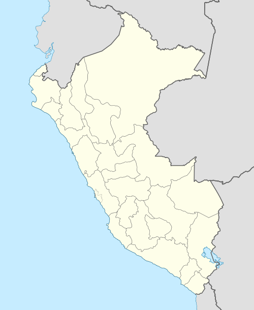
 Rajuntay Peru | |
| Location | Peru, Junin Region |
| Parent range | Andes, La Viuda mountain range |
| Climbing | |
| First ascent | 1900 |
| Easiest route | glacier/snow/ice climb |
Rajuntay is a mountain of the Andes mountain range in central Peru, part of the Andes. At 5,477 metres (17,969 ft) (other sources: 5,477 m (17,969 ft)).
The name means coupled snow. It is also called Raujunte.
See also
This article is issued from Wikipedia - version of the 3/20/2016. The text is available under the Creative Commons Attribution/Share Alike but additional terms may apply for the media files.