Rajpur, Baroda
| Rajpur | |
|---|---|
| Princely State, city | |
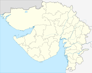 Rajpur  Rajpur Location in Gujarat, India | |
| Coordinates: 22°18′00″N 73°12′01″E / 22.30000°N 73.20028°ECoordinates: 22°18′00″N 73°12′01″E / 22.30000°N 73.20028°E | |
| Country |
|
| State | Gujarat |
| District | Vadodara District |
| Zone | 21 |
| Government | |
| • Body | 1 (VUDA) |
| • Thakur Saheb | Late.H.H ThakurSaheb Shree Mansinhji Fatehsinhji Maharaulji |
| Area | |
| • Total | 148.95 km2 (57.51 sq mi) |
| Elevation | 129 m (423 ft) |
| Population (2007)† | |
| • Total | 3,641,566 |
| • Rank | 18 |
| • Density | 11,021/km2 (28,540/sq mi) |
| Languages | |
| • Official | Gujarati, Hindi,English |
| Time zone | IST (UTC+5:30) |
| PIN | 391530 |
| Telephone code | (91)2667 |
| ISO 3166 code | [[ISO 3166-2:IN|]] |
| Vehicle registration | GJ-06 |
| Nearest city | Anand |
| Literacy | 76.11% |
| Legislature Strength | 84 |
| Planning agency | 1 (VUDA) |
| Distance from Gandhinagar | 126 kilometres (78 mi) NE (Rail & Air) |
| Distance from Mumbai | 395 kilometres (245 mi) S (Rail & Air) |
| Distance from Ahmedabad | 100 kilometres (62 mi) NW (Road) |
| Climate | Semi-arid (BSh) (Köppen) |
| Avg. annual temperature | 43–12 °C (109–54 °F) |
| Avg. summer temperature | 43–26 °C (109–79 °F) |
| Avg. winter temperature | 33–8 °C (91–46 °F) |
| Website |
gujaratindia |
Rajpur, Baroda was an Indian princely state located on the bank of river Mahisagar. Thakur Saheb Shree Mansinhji Fatehsinhji Maharaulji was the last Thakur Saheb of Rajpur. The history of the Rajput Royal family is associated with Lord Jaladhar Mahadevji.
This article is issued from Wikipedia - version of the 12/4/2016. The text is available under the Creative Commons Attribution/Share Alike but additional terms may apply for the media files.