Rajokri
| Rajokri Harjokari | |
|---|---|
| Urbanized Village | |
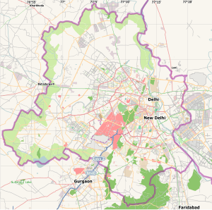 Rajokri Location in India | |
| Coordinates: 28°30′11″N 77°06′40″E / 28.5031°N 77.11106°ECoordinates: 28°30′11″N 77°06′40″E / 28.5031°N 77.11106°E | |
| Country |
|
| State | Delhi |
| District | South West |
| Population (2001) | |
| • Total | 12,758 |
| Languages | |
| • Official | Hindi, English |
| Time zone | IST (UTC+5:30) |
Rajokri is a census town in South West district in the Indian union territory of DelhiRa[1] village which is near to Gurgaon border. Sh. Deep Chand Yadav was the Pradhaan and Late Sh. Chandgi Ram Yadav was the Thuledar of Rajokri.
Demographics
As of 2001 India census,[2] Rajokri had a population of 12,758. Males constitute 56% of the population and females 44%. Rajokri has an average literacy rate of 66%, higher than the national average of 59.5%: male literacy is 73%, and female literacy is 56%. In Rajokri, 15% of the population is under 4 years of age. There are many temples, But the most famous temple is Kholi Baba Temple and Lord Shiva Temple. There are 3 Banks, 7 ATMs, an Air Force Station, Kendriya Vidyalaya and many Schools in Rajokri. It is the first village of New Delhi on NH-8 when coming towards Delhi from Gurgaon. Acharya Narendra Dev College of Delhi University was opened in Rajokri, but could not function here due to some issues.http://andcollege.du.ac.in/?q=about The Rajokri population is 85% Ahirs (Yadav), 3% Dalit, 4% Brahmans and 8% Jangra.
References
- ↑ http://yadavhistory.com/state_wise_history/delhi
- ↑ "Census of India 2001: Data from the 2001 Census, including cities, villages and towns (Provisional)". Census Commission of India. Archived from the original on 2004-06-16. Retrieved 2008-11-01.