Haddenham Airfield
| Haddenham Airfield | |
|---|---|
| IATA: none – ICAO: none | |
| Summary | |
| Airport type | Private |
| Owner | Upward Bound Trust |
| Operator | Upward Bound Trust |
| Location | Haddenham, Buckinghamshire |
| Elevation AMSL | 285 ft / 97 m |
| Coordinates | 51°46′35″N 000°56′30″W / 51.77639°N 0.94167°WCoordinates: 51°46′35″N 000°56′30″W / 51.77639°N 0.94167°W |
| Website | www.ubt.org.uk |
| Map | |
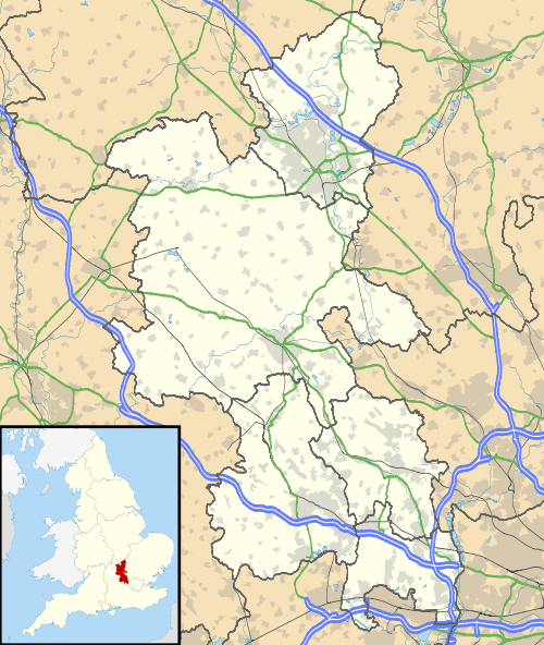 Haddenham Airfield Location in Buckinghamshire | |
Haddenham Airfield is an airfield on the outskirts of the English village of Haddenham, Buckinghamshire.
Originally a Second World War airfield called RAF Thame it later came under civil owners Airtech Limited who were based here until the 1990s.
History
The site was originally RAF Thame.
The following units were posted here at some point:
- No. 1 Glider Training School RAF.[1]
- No. 2 Glider Training School RAF.[1]
- No. 5 (Training) FP.[1]
- No. 12 Operational Training Unit RAF.[1]
- ATA Initial Flying Training School.[1]
- ATA (Training) Ferry Pool.[1]
- Glider Instructors School RAF.[1]
- Glider Training Squadron RAF.[1]
Current use
In 1965 the airfield started gliding operations run by the Upward Bound Trust.
The Upward Bound Trust is a charity that provides glider training for those over the age of 16. With the building of an industrial estate the trust held a hangar appeal supported by the local community of Haddenham, it raised enough money to build a new hangar and a new access road.[2]
References
- 1 2 3 4 5 6 7 8 "Thame (Haddenham)". Airfields of Britain Conservation Trust. Retrieved 27 November 2014.
- ↑ Upward Bound Trust History (Website accessed 13 September 2010)
This article is issued from Wikipedia - version of the 12/4/2016. The text is available under the Creative Commons Attribution/Share Alike but additional terms may apply for the media files.