RNAS Prawle Point
| RNAS/RAF Prawle Point | |||||||||||||||
|---|---|---|---|---|---|---|---|---|---|---|---|---|---|---|---|
| IATA: none – ICAO: none | |||||||||||||||
| Summary | |||||||||||||||
| Airport type | Military | ||||||||||||||
| Operator |
Royal Naval Air Service Royal Air Force | ||||||||||||||
| Location | East Prawle | ||||||||||||||
| Built | 1917 | ||||||||||||||
| In use | 1917-1919 | ||||||||||||||
| Coordinates | 50°13′09″N 003°42′57″W / 50.21917°N 3.71583°WCoordinates: 50°13′09″N 003°42′57″W / 50.21917°N 3.71583°W | ||||||||||||||
| Map | |||||||||||||||
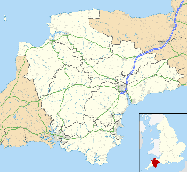 RNAS Prawle Point Location in Devon | |||||||||||||||
| Runways | |||||||||||||||
| |||||||||||||||
The RNAS Naval Air Station Prawle Point was a British First World War airfield outside the village of East Prawle in Devon, England and 2.6 miles (4.2 km) south east of Salcombe, Devon.[1]
The airfield was opened in 1917 to provide a base for de Havilland DH.6 and de Havilland DH.9s of the Royal Naval Air Service to carry out anti-submarine patrols.
History
With the formation of the Royal Air Force in April 1918 the airfield became RAF Prawle Point and aircraft flights became 254 Squadron.[2] The squadron was divided into flights with 492 (Light Bomber) Flight operating the DH.9s and 515 and 516 (Special Duties) Flights the DH.6s.[3] The squadron disbanded on 22 February 1919 and flying at Prawle Point ended. [3]
Current use
The airfield is now used for farming.
References
Citations
Bibliography
- Sturtivant, R, Page, G .Royal Navy Aircraft Serials and Units 1911-1919. Air-Britain. 2004. ISBN 0-85130-191-6.
External links
Royal Air Force portal | ||
| Formations and units |  | |
| Branches and components | ||
| Reserve forces | ||
| Associated civil organizations | ||
| Equipment | ||
| Personnel | ||
| Appointments | ||
| Symbols and uniform | ||