RAF Atherstone
| RAF Atherstone | |||||||||||||||||||
|---|---|---|---|---|---|---|---|---|---|---|---|---|---|---|---|---|---|---|---|
|
A section of perimeter track at the airfield | |||||||||||||||||||
| IATA: none – ICAO: none | |||||||||||||||||||
| Summary | |||||||||||||||||||
| Airport type | Military | ||||||||||||||||||
| Operator | Royal Air Force | ||||||||||||||||||
| Location | Atherstone on Stour | ||||||||||||||||||
| Built | 1940 | ||||||||||||||||||
| In use | 1941-1945 | ||||||||||||||||||
| Elevation AMSL | 193 ft / 116 m | ||||||||||||||||||
| Coordinates | 52°9′40″N 001°41′12″W / 52.16111°N 1.68667°W | ||||||||||||||||||
| Map | |||||||||||||||||||
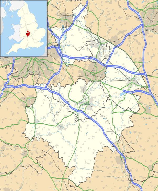 RAF Atherstone Location in Warwickshire | |||||||||||||||||||
| Runways | |||||||||||||||||||
| |||||||||||||||||||
|
Operational dates.[1] | |||||||||||||||||||

RAF Atherstone was a former Royal Air Force station located 2.25 miles (3.62 km) south of Stratford-upon-Avon, Warwickshire, England, 7.5 miles (12.1 km) north-west of Shipston on Stour.
The airfield opened in 1941 when it was used by No. 22 Operational Training Unit RAF as a satellite from RAF Wellesbourne Mountford.[1] Through its life the airfield was home to a number of units before closing in 1945.
Atherstone had its name changed during operations when, in May 1942, it became RAF Stratford.[2]
Posted units
The authorisation for a satellite for No. 22 Operational Training Unit RAF (OTU) was given on 18 June 1940 yet it took over a year until 5 July 1941 that the station was finally opened by an advance party from RAF Wellesbourne Mountford with their Vickers Wellingtons.[1] During 1942 the station's name was changed from RAF Atherstone to RAF Stratford because there was another airfield called Atherstone.[3]
No. 22 OTU used the airfield until 15 November 1942, when control was passed to No. 23 OTU located at RAF Pershore.[1] When RAF Gaydon opened, pressure was reduced on the station but when No. 22 OTU was ejected from RAF Defford because the station was transferred to No. 10 Group RAF.[4]
312 Ferry Training Unit (FTU) flying the Wellington used the airfield for just under eight months between 24 April 1943 and 17 December 1943 with the unit located at Wellesbourne Mountford with RAF Gaydon and Stratford used as a satellites.[5]
However, on 7 March 1944 the airfield was transferred back to No. 22 OTU [1] because the unit now had 81 Wellington III/X's with 33 of these coming from No. 23 OTU which had disbanded on 7 March 1944.[6] Although before long No. 22 OTU had left and the station came under control from the Signals Flying Unit from RAF Honiley but not long after flying ceased at Stratford and the station was placed on a care and maintenance basis.[4]
Accidents and incidents
During life as a RAF training airfield accidents were not far away, with a number of airmen killed during training.
| Date | Incident | Reference |
|---|---|---|
| 23 April 1944 | Vickers Wellington BK541 of No. 22 Operational Training Unit RAF (OTU) crashed on overshoot following engine failure. | [7] |
| 11 June 1944 | Wellington BK186 of 22 OTU had to crash land after an engine failure. | [7] |
| 8 December 1944 | Wellington LN845 –C of No. 11 Operational Training Unit RAF overshot a forced landing and ran onto the railway at the end of the runway. The aircraft was only lightly damaged until it was hit by a train. | [7] |
| 19 October 1945 | Wellington PF882 of the Signals Flying Unit overshot landing and ran into the railway embankment. | [8] |
Current use
Today the airfield is home to a small number of warehouses however the original basic layout can still be made out, including the runways and a large amount of the perimeter track which used to connect the runways with the dispersal hardstandings and the technical site.[1]
References
Citations
- 1 2 3 4 5 6 "RAF Stratford". Control Towers. Retrieved 16 April 2012.
- ↑ "RAF Stratford". Atlantik Wall. Retrieved 16 April 2012.
- ↑ Bowyer 1983, p. 241.
- 1 2 Bowyer 1983, p. 242.
- ↑ "Military flying units in the south west Midlands". Aviation Archaeology. Retrieved 16 April 2012.
- ↑ Lake 1999, p. 147.
- 1 2 3 "Military aircraft crashes in the south west Midlands - 1944". Aviation Archaeology. Retrieved 16 April 2012.
- ↑ "Military aircraft crashes in the south west Midlands - 1945". Aviation Archaeology. Retrieved 16 April 2012.
Bibliography
- Bowyer, M.J.F. Action Stations 6: Military airfield of the Cotswolds and the Central Midlands. Cambridge, Cambridgeshire, Patrick Stephens Ltd., 1983. ISBN 0-85059-529-0.
- Lake, A Flying Units of the RAF. Shrewbury, Airlife Publishing Ltd., 1999. ISBN 1-84037-086-6.
External links
Royal Air Force portal | ||
| Formations and units |  | |
| Branches and components | ||
| Reserve forces | ||
| Associated civil organizations | ||
| Equipment | ||
| Personnel | ||
| Appointments | ||
| Symbols and uniform | ||